Transport Functions
Rail
Road
Hub Profile
Place type
Populated place
Region
Minas Gerais
Population
38,724
Time zone
America/Sao_Paulo
Elevation
1,039 m
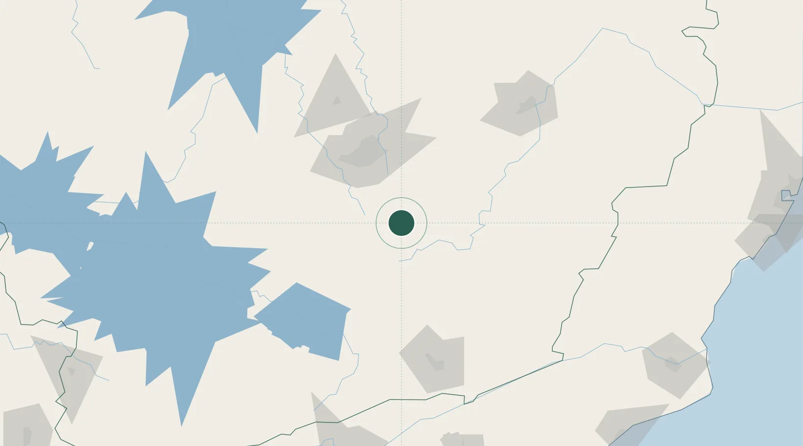
Location
Nearby Logistics Neighbours
Cities
- 1Congonhas18 km
- 2Ouro Preto24 km
- 3Jeceaba31 km
- 4Mariana34 km
- 5Rio Acima49 km
Ports
- 1Niteroi270 km
- 2Rio De Janeiro270 km
- 3Angra Dos Reis286 km
- 4Macae286 km
- 5Porto Do Forno322 km
Airports
Trade Zones
- 1ZPE de Itaguaí (RJ)266 km
- 2ZPE do Açú (RJ)311 km
- 3ZPE de Teófilo Otoni (MG)374 km
- 4ZPE de Aracruz (ES)389 km
- 5ZPE de Uberaba (MG)458 km
DatabookThe Record of Consolidated Knowledge
Brazil beyond logistics?