UN/LOCODE hub · Brazil
BRSJI
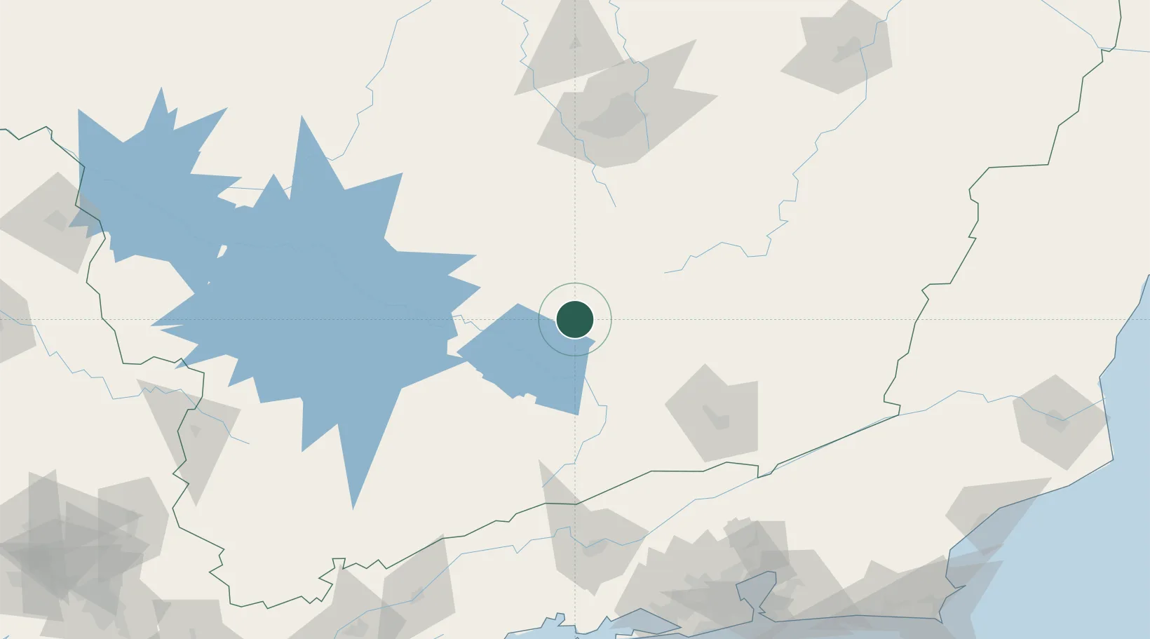
São João del Rei
-21.1333°, -44.2500°
78,592
Population
3
Transport functions
Transport Functions
Rail
Road
Airport
Hub Profile
Place type
Populated place
Region
Minas Gerais
Population
78,592
Time zone
America/Sao_Paulo
Elevation
911 m
Location
Nearby Logistics Neighbours
Ports
- 1Angra Dos Reis210 km
- 2Rio De Janeiro226 km
- 3Niteroi227 km
- 4Macae291 km
- 5Porto Do Forno308 km
Airports
Trade Zones
- 1ZPE de Itaguaí (RJ)203 km
- 2ZPE do Açú (RJ)341 km
- 3ZPE de Uberaba (MG)421 km
- 4ZPE de Aracruz (ES)464 km
- 5ZPE de Teófilo Otoni (MG)465 km
DatabookThe Record of Consolidated Knowledge
Brazil beyond logistics?