Transport Functions
Rail
Road
Hub Profile
Place type
Populated place
Region
Minas Gerais
Population
52,890
Time zone
America/Sao_Paulo
Elevation
884 m
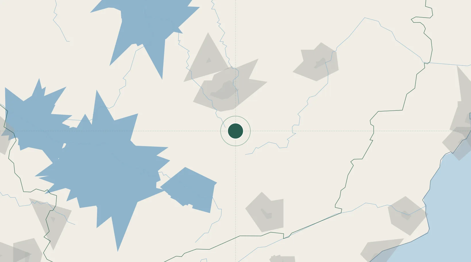
Location
Nearby Logistics Neighbours
Cities
- 1Jeceaba14 km
- 2Ouro Branco18 km
- 3Ouro Preto39 km
- 4Rio Acima47 km
- 5Mariana49 km
Ports
- 1Niteroi276 km
- 2Rio De Janeiro276 km
- 3Angra Dos Reis284 km
- 4Macae299 km
- 5Porto Do Forno333 km
Airports
Trade Zones
- 1ZPE de Itaguaí (RJ)268 km
- 2ZPE do Açú (RJ)327 km
- 3ZPE de Teófilo Otoni (MG)384 km
- 4ZPE de Aracruz (ES)406 km
- 5ZPE de Uberaba (MG)441 km
DatabookThe Record of Consolidated Knowledge
Brazil beyond logistics?