Transport Functions
Rail
Road
Hub Profile
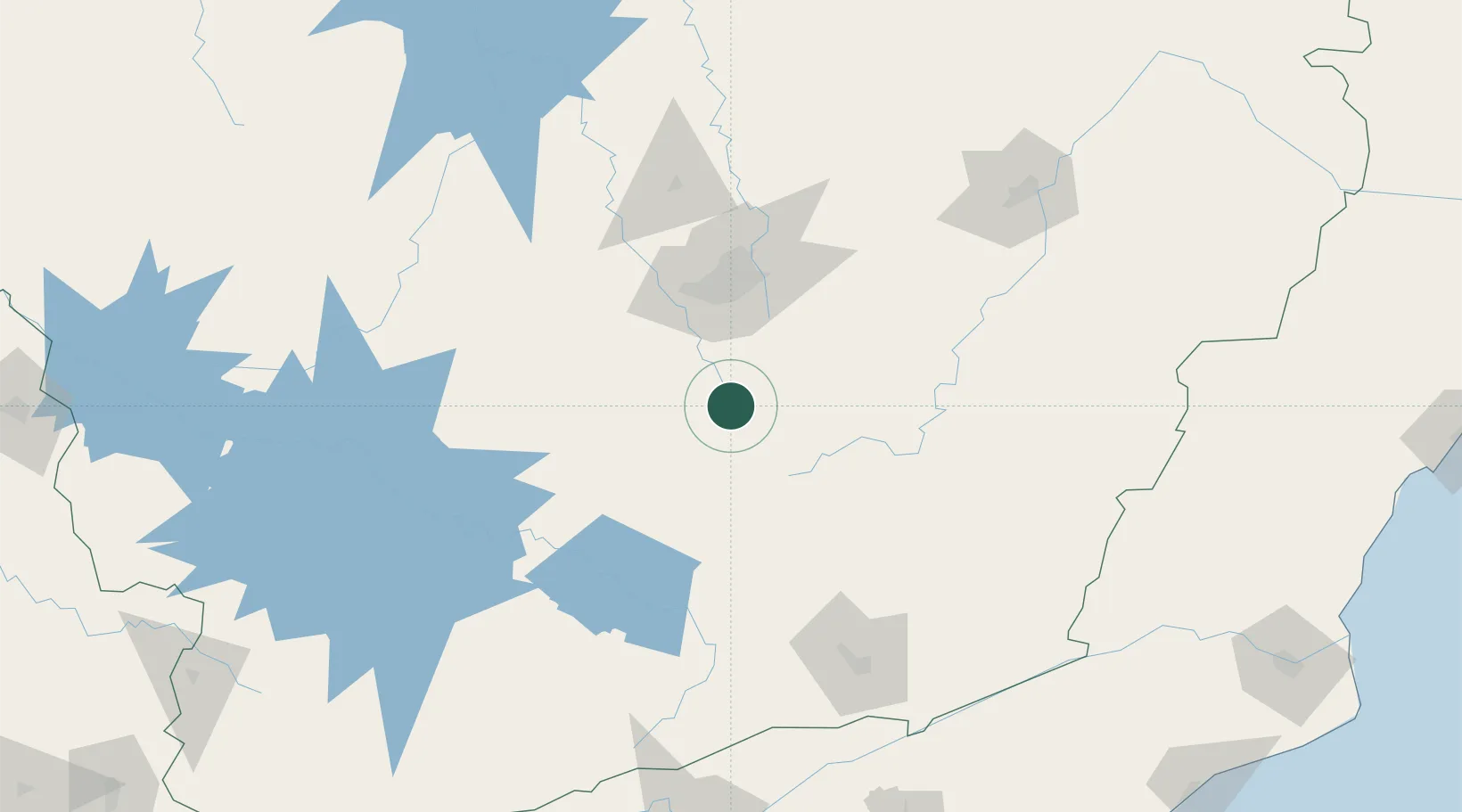
Place type
Populated place
Region
Minas Gerais
Population
6,197
Time zone
America/Sao_Paulo
Elevation
949 m
Location
Nearby Logistics Neighbours
Cities
- 1Congonhas14 km
- 2Ouro Branco31 km
- 3Brumadinho48 km
- 4Carandaí52 km
- 5Ouro Preto53 km
Ports
- 1Niteroi278 km
- 2Rio De Janeiro278 km
- 3Angra Dos Reis280 km
- 4Macae308 km
- 5Porto Do Forno340 km
Airports
Trade Zones
- 1ZPE de Itaguaí (RJ)267 km
- 2ZPE do Açú (RJ)339 km
- 3ZPE de Teófilo Otoni (MG)395 km
- 4ZPE de Aracruz (ES)420 km
- 5ZPE de Uberaba (MG)428 km
DatabookThe Record of Consolidated Knowledge
Brazil beyond logistics?