Transport Functions
Rail
Road
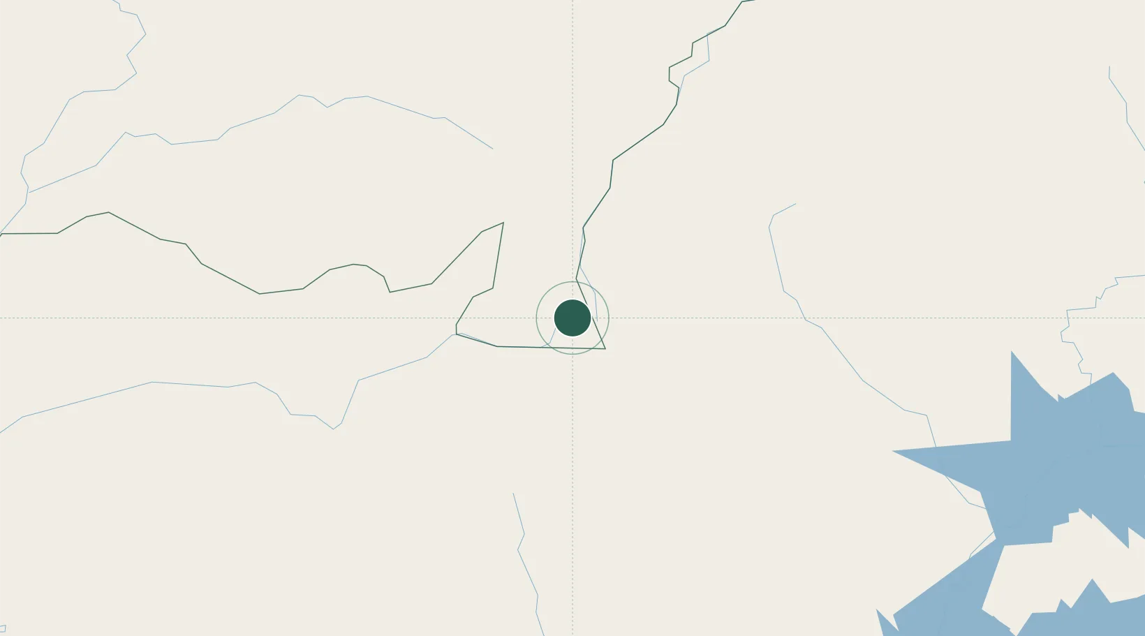
Hub Profile
Place type
Populated place
Region
Mato Grosso
Population
11,571
Time zone
America/Cuiaba
Elevation
754 m
Location
Nearby Logistics Neighbours
Cities
- 1Alto Araguaia60 km
- 2Itiquira116 km
- 3Chapadão do Sul126 km
- 4Rondonópolis197 km
- 5São Simão316 km
Ports
- 1Puerto De Asuncion944 km
- 2Paranagua983 km
- 3Santos993 km
- 4Sao Francisco1050 km
- 5Sao Sebastiao1053 km
Airports
- 1Maestro Marinho Franco Airport208 km
- 2Barra do Garças Airport238 km
- 3Campo Grande Airport328 km
- 4Fazenda Nova Airport333 km
- 5Fazenda Riozinho Airport344 km
Trade Zones
- 1ZPE de Fernandópolis (SP)417 km
- 2ZPE de Bataguassú (MS)438 km
- 3ZPE DE Corumbá482 km
- 4Central Aguirre Portuaria487 km
- 5Zona Franca Puerto Suárez499 km
DatabookThe Record of Consolidated Knowledge
Brazil beyond logistics?