Medium airport · Brazil

Barra do Garças AirportSBBW
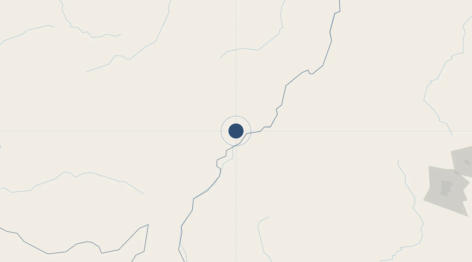
-15.8614°, -52.3890°
5,243 ft
Longest runway
1
Runways
1,147 ft
Elevation

Runway & Layout

Barra do Garças Airport runway & taxiway layout
Runway & taxiway layout — OpenStreetMap (ODbL) / OurAirports

Radio Frequencies

AFIS
125.9 MHz
GARCAS RDO
OurAirports

Navaids

BAG VOR-DME Garcas 113.30 MHz
BAG NDB Garcas 320 kHz
OurAirports

Runways · 1

RunwayDimensions SurfaceTrue headingLit
7/25 5,243 × 98ft Asphalt
OurAirports

Airport Specifications

IATA code
BPG
OurAirports
ICAO code
SBBW
OurAirports
Airport class
Medium airport
OurAirports
Scheduled service
No
OurAirports
Runway surface
Asphalt
OurAirports
Served city
Barra do Garças
OurAirports

Location

Location of SBBW
Natural Earth 10m (public domain) · Mato Grosso · SBBW · -15.86, -52.39GoogleOSMYandex

Nearby Logistics Neighbours

Airports
  1. 1Maestro Marinho Franco Airport262 km
  2. 2Fazenda Nova Airport274 km
  3. 3Santa Genoveva International Airport349 km
  4. 4Anápolis Airbase368 km
  5. 5Várzea Grande–Marechal Rondon International Airport400 km
Nearest neighbours — logibook spatial index (haversine) over the source coordinates
Cities
  1. 1Aruanã178 km
  2. 2Alto Araguaia183 km
  3. 3Itiquira238 km
  4. 4Alto Taquari238 km
  5. 5Rondonópolis262 km
Nearest neighbours — logibook spatial index (haversine) over the source coordinates
Ports
  1. 1Santos1102 km
  2. 2Paranagua1145 km
  3. 3Sao Sebastiao1146 km
  4. 4Angra Dos Reis1161 km
  5. 5Puerto De Asuncion1182 km
Nearest neighbours — logibook spatial index (haversine) over the source coordinates
Trade Zones
  1. 1ZPE de Fernandópolis (SP)542 km
  2. 2ZPE de Cáceres567 km
  3. 3ZPE de Uberaba (MG)632 km
  4. 4ZPE de Bataguassú (MS)648 km
  5. 5ZPE DE Corumbá660 km
Nearest neighbours — logibook spatial index (haversine) over the source coordinates
DatabookThe Record of Consolidated Knowledge
Brazil beyond logistics?
Browse databook

All Sources

AirportsOurAirports
Public domain
Portsthe NGA World Port Index
Public domain (US gov)
LocationsUN/LOCODE
UN/LOCODE — free
Trade Zonesthe World Bank SEZ database
CC BY 4.0
Trade ZonesOpen Zone Map
CC BY
InfrastructureOpenStreetMap
ODbL 1.0
← Brazil airports