Transport Functions
Rail
Road
Hub Profile
Place type
Populated place
Region
Minas Gerais
Population
10,261
Time zone
America/Sao_Paulo
Elevation
741 m
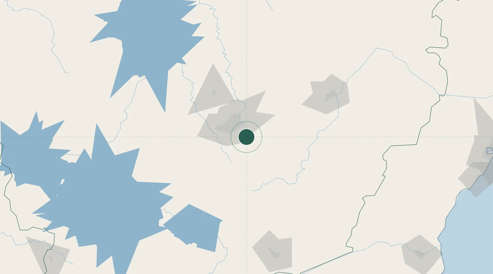
Location
Nearby Logistics Neighbours
Cities
- 1Belo Horizonte22 km
- 2Barão de Cocais36 km
- 3Santa Luzia36 km
- 4Betim38 km
- 5Contagem40 km
Ports
- 1Niteroi319 km
- 2Rio De Janeiro320 km
- 3Macae329 km
- 4Angra Dos Reis331 km
- 5Vitoria361 km
Airports
Trade Zones
- 1ZPE de Itaguaí (RJ)314 km
- 2ZPE do Açú (RJ)345 km
- 3ZPE de Teófilo Otoni (MG)345 km
- 4ZPE de Aracruz (ES)393 km
- 5ZPE de Uberaba (MG)441 km
DatabookThe Record of Consolidated Knowledge
Brazil beyond logistics?