Transport Functions
Rail
Road
Multimodal
Hub Profile
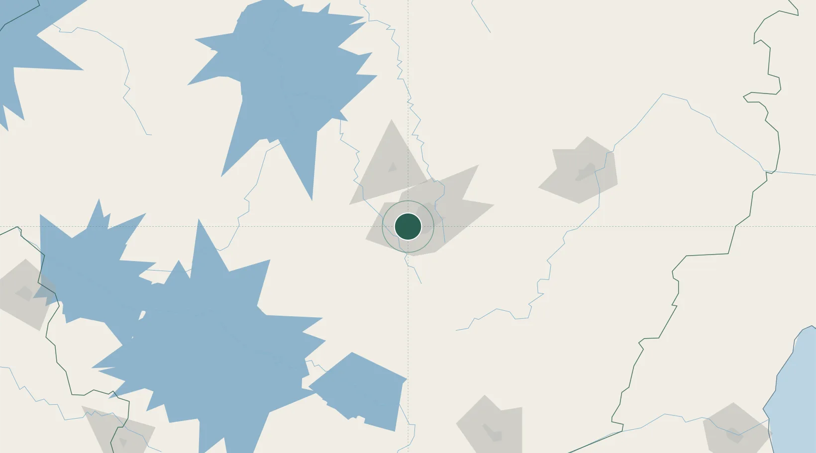
Place type
Populated place
Region
Minas Gerais
Population
384,000
Time zone
America/Sao_Paulo
Elevation
834 m
Logistics facilities
1
Location
Nearby Logistics Neighbours
Cities
- 1Contagem9 km
- 2Sarzedo13 km
- 3Belo Horizonte21 km
- 4Brumadinho21 km
- 5Santa Luzia35 km
Ports
- 1Angra Dos Reis341 km
- 2Niteroi341 km
- 3Rio De Janeiro342 km
- 4Macae362 km
- 5Vitoria397 km
Airports
Trade Zones
- 1ZPE de Itaguaí (RJ)330 km
- 2ZPE de Teófilo Otoni (MG)362 km
- 3ZPE do Açú (RJ)382 km
- 4ZPE de Uberaba (MG)406 km
- 5ZPE de Aracruz (ES)426 km
DatabookThe Record of Consolidated Knowledge
Brazil beyond logistics?