UN/LOCODE hub · Chile
CLPAT

Puerto Patache

-20.8000°, -70.2000°
1
Transport functions

Transport Functions

Port
UN/LOCODE

Hub Profile

Region
TA
GeoNames

Location

Location of CLPAT
Natural Earth 10m (public domain) · TA · CLPAT · -20.80, -70.20GoogleOSMYandex

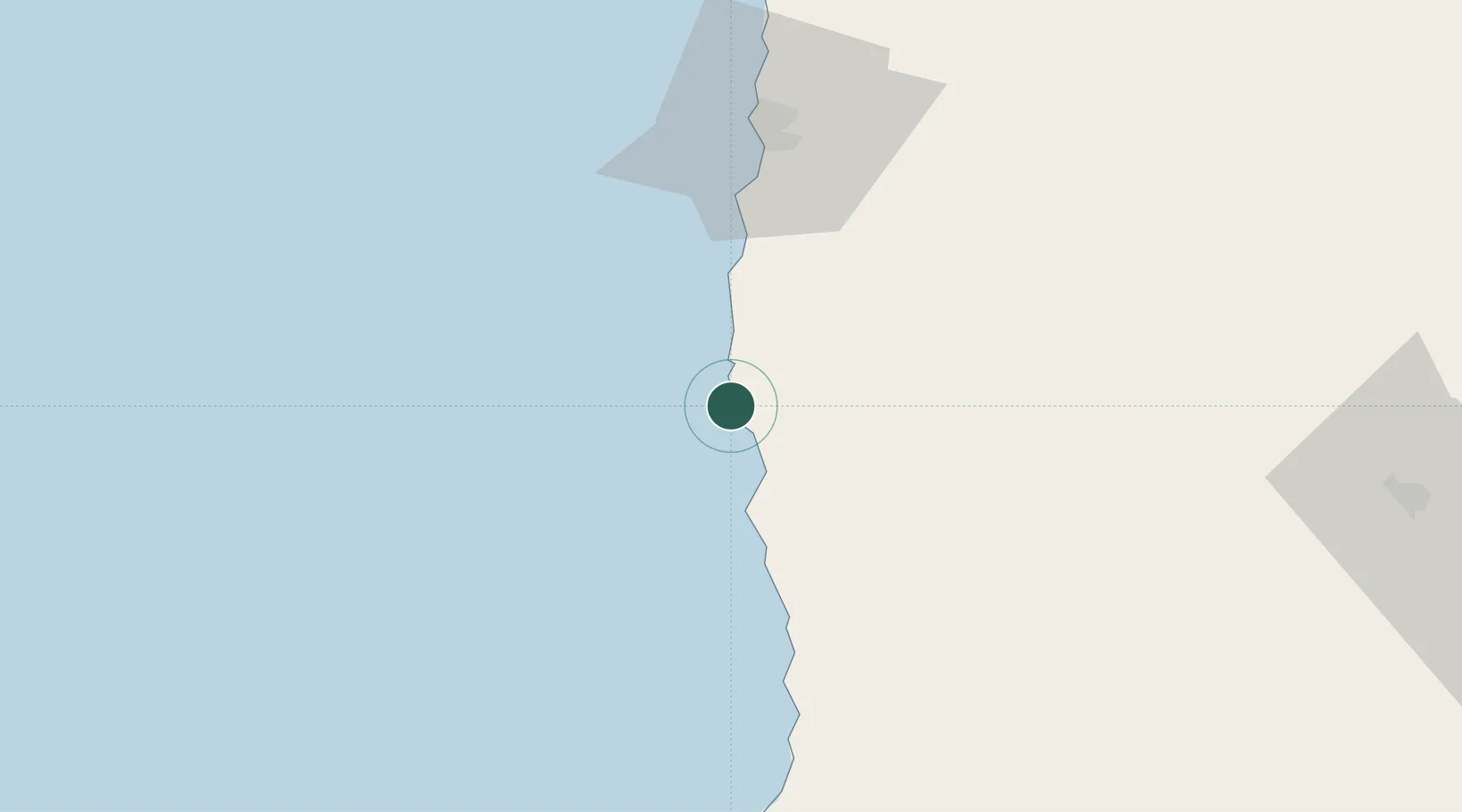
Nearby Logistics Neighbours

Cities
  1. 1Punta Patache3 km
  2. 2Caleta Patillos6 km
  3. 3Patillos6 km
  4. 4Iquique64 km
  5. 5Pisagua133 km
Nearest neighbours — logibook spatial index (haversine) over the source coordinates
Ports
  1. 1Caleta Patillos7 km
  2. 2Iquique67 km
  3. 3Tocopilla143 km
  4. 4Mejillones257 km
  5. 5Rada De Arica260 km
Nearest neighbours — logibook spatial index (haversine) over the source coordinates
Airports
  1. 1Diego Aracena International Airport29 km
  2. 2Barriles Airport150 km
  3. 3El Loa Airport232 km
  4. 4Chacalluta International Airport273 km
  5. 5Andrés Sabella Gálvez International Airport295 km
Nearest neighbours — logibook spatial index (haversine) over the source coordinates
Trade Zones
  1. 1Iquique Free Trade Zone67 km
  2. 2Arica Free Trade Zone272 km
  3. 3Chacalluta Arica Industrial Park272 km
  4. 4Zona Franca de Tacna (Free Trade Zone of Tacna (ZOFRATACNA)303 km
  5. 5Zona Franca Oruro451 km
Nearest neighbours — logibook spatial index (haversine) over the source coordinates
DatabookThe Record of Consolidated Knowledge
Chile beyond logistics?
Browse databook

All Sources

LocationsUN/LOCODE
UN/LOCODE — free
Portsthe NGA World Port Index
Public domain (US gov)
AirportsOurAirports
Public domain
Trade Zonesthe World Bank SEZ database
CC BY 4.0
Trade ZonesOpen Zone Map
CC BY
← Chile locations