Transport Functions
Port
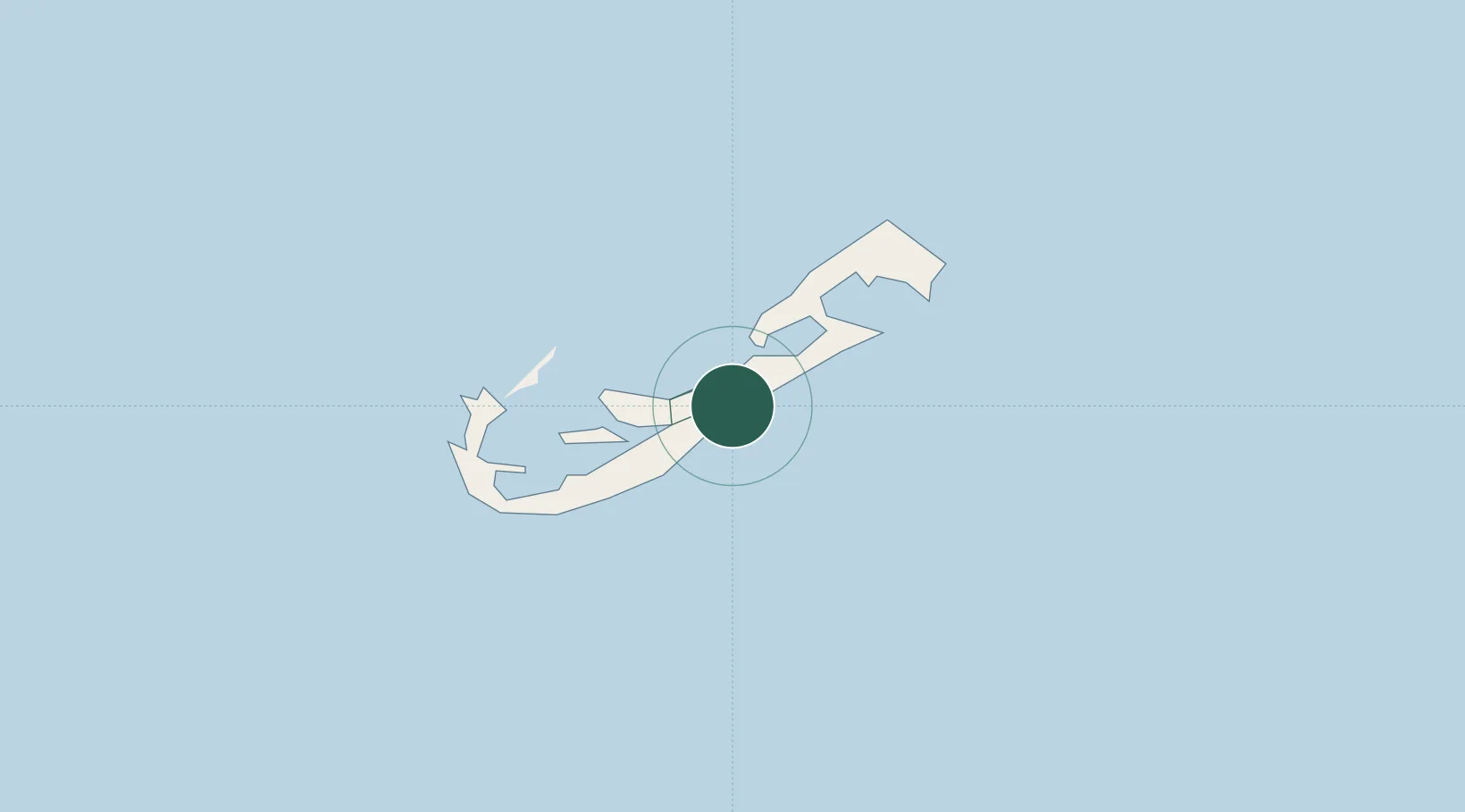
Location
Nearby Logistics Neighbours
Cities
- 1Southampton11 km
- 2Sandys11 km
- 3Saint George11 km
- 4Edgartown1132 km
- 5Chatham1138 km
Ports
- 1Hamilton3 km
- 2Ireland Island8 km
- 3St George11 km
- 4Nantucket1106 km
- 5Edgartown1132 km
Airports
- 1L.F. Wade International Airport10 km
- 2Nantucket Memorial Airport1102 km
- 3Martha's Vineyard Airport1137 km
- 4Cape Cod Gateway Airport1151 km
- 5Block Island State Airport1158 km
Trade Zones
- 1FTZ No. 028 New Bedford1179 km
- 2FTZ No. 208 New London1200 km
- 3FTZ No. 235 Lakewood1212 km
- 4FTZ No. 105 Providence and North Kingstown1213 km
- 5FTZ No. 052 Suffolk County1218 km
DatabookThe Record of Consolidated Knowledge
Bermuda beyond logistics?