Transport Functions
Port
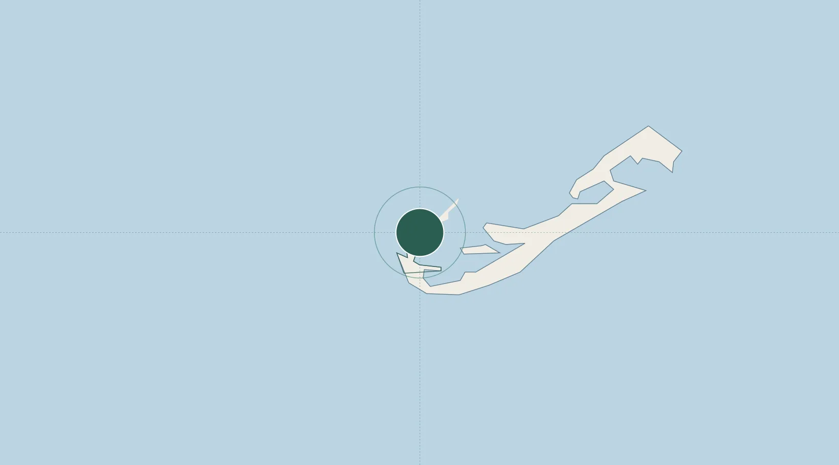
Location
Nearby Logistics Neighbours
Cities
- 1Southampton6 km
- 2Devonshire11 km
- 3Saint George20 km
- 4Edgartown1128 km
- 5Chatham1134 km
Ports
- 1Ireland Island4 km
- 2Hamilton8 km
- 3St George20 km
- 4Nantucket1102 km
- 5Edgartown1127 km
Airports
- 1L.F. Wade International Airport19 km
- 2Nantucket Memorial Airport1097 km
- 3Martha's Vineyard Airport1132 km
- 4Cape Cod Gateway Airport1147 km
- 5Block Island State Airport1153 km
Trade Zones
- 1FTZ No. 028 New Bedford1174 km
- 2FTZ No. 208 New London1194 km
- 3FTZ No. 235 Lakewood1205 km
- 4FTZ No. 105 Providence and North Kingstown1208 km
- 5FTZ No. 052 Suffolk County1212 km
DatabookThe Record of Consolidated Knowledge
Bermuda beyond logistics?