Large airport · Bermuda
L.F. Wade International AirportTXKF
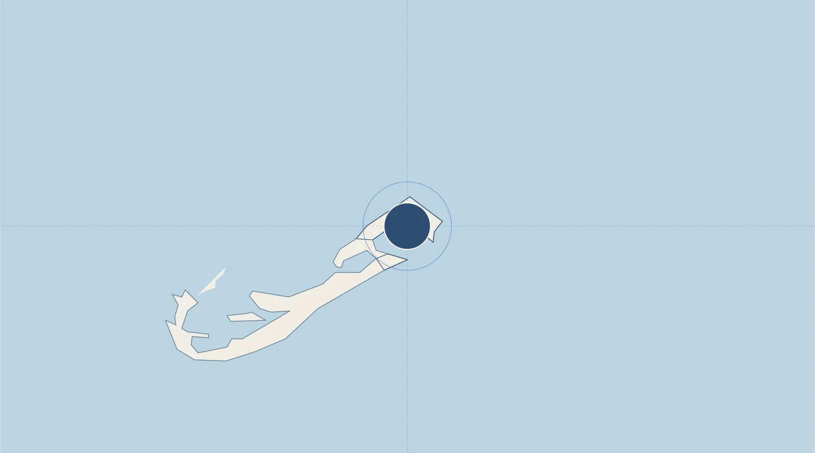
32.3638°, -64.6782°
9,705 ft
Longest runway
1
Runways
12 ft
Elevation
Runway & Layout

Radio Frequencies
TWR
118.1 MHz
GND
124.5 MHz
CLD
124.5 MHz
CLNC DEL
APP
119.1 MHz
NEW YORK APP
CTAF
122.8 MHz
CNTR
128.5 MHz
NEW YORK CNTR
Navaids
BDA VOR-DME Bermuda 113.90 MHz
Runways · 1
| Runway | Dimensions | Surface | True heading | Lit |
|---|---|---|---|---|
| 12/30 | 9,705 × 150ft | Asphalt | 102° | ✓ |
Airport Specifications
IATA code
BDA
ICAO code
TXKF
Airport class
Large airport
Scheduled service
Yes
Runway surface
Asphalt
Served city
Hamilton
Location
Nearby Logistics Neighbours
Airports
- 1Nantucket Memorial Airport1098 km
- 2Martha's Vineyard Airport1134 km
- 3Cape Cod Gateway Airport1147 km
- 4Block Island State Airport1155 km
- 5Montauk Airport1163 km
Cities
- 1Saint George2 km
- 2Devonshire10 km
- 3Sandys19 km
- 4Southampton21 km
- 5Edgartown1129 km
Ports
- 1St George2 km
- 2Hamilton12 km
- 3Ireland Island16 km
- 4Nantucket1102 km
- 5Edgartown1128 km
Trade Zones
- 1FTZ No. 028 New Bedford1176 km
- 2FTZ No. 208 New London1197 km
- 3FTZ No. 105 Providence and North Kingstown1210 km
- 4FTZ No. 235 Lakewood1211 km
- 5FTZ No. 052 Suffolk County1217 km
DatabookThe Record of Consolidated Knowledge
Bermuda beyond logistics?