Channel & Berth Profile
Pilotage, Tugs & Services
Pilotage compulsoryYES
Pilotage availableYES
Tug assistanceYES
Salvage tugsNO
Shore powerYES
Potable waterYES
MedicalYES
Garbage disposalYES
Facilities & Capabilities
ContainerYES
Ro-RoYES
Liquid bulk—
Dry bulk—
Oil terminal—
Break bulkYES
Dry dock—
RepairsNO
BunkeringYES
Rail linkYES
Dangerous cargo—
ISPS securityYES
Harbour Specifications
Harbour size
Small
Harbour type
Coastal (Natural)
Shelter
Excellent
Water body
North Atlantic Ocean
Tidal range
1.5 m
Overhead limit
No
Pilotage
Yes
Liner Connectivity
20
PLSCI
Port Liner Shipping Connectivity Index for Hamilton, as published by UNCTAD for the latest available quarter. Higher values indicate stronger scheduled liner-shipping integration.
Shown relative to the highest per-port PLSCI in the dataset (1,657.9).
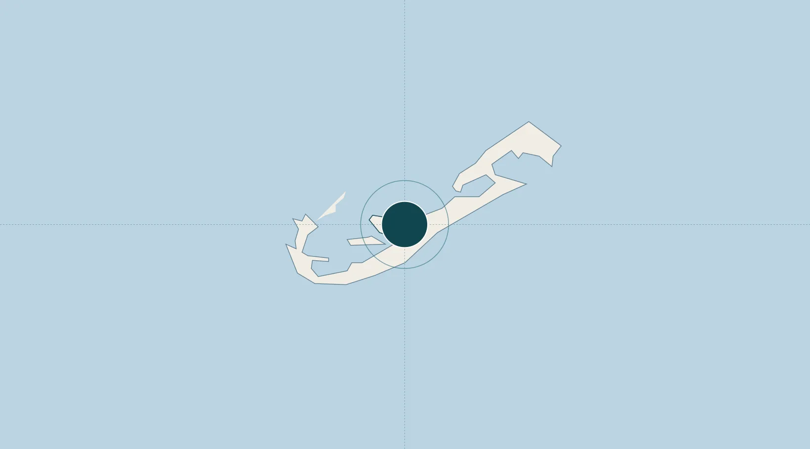
Location
Nearby Logistics Neighbours
Ports
- 1Ireland Island5 km
- 2St George13 km
- 3Nantucket1105 km
- 4Edgartown1130 km
- 5Vineyard Haven1141 km
Cities
- 1Devonshire3 km
- 2Sandys8 km
- 3Southampton8 km
- 4Saint George13 km
- 5Edgartown1131 km
Airports
- 1L.F. Wade International Airport12 km
- 2Nantucket Memorial Airport1100 km
- 3Martha's Vineyard Airport1136 km
- 4Cape Cod Gateway Airport1150 km
- 5Block Island State Airport1156 km
Trade Zones
- 1FTZ No. 028 New Bedford1178 km
- 2FTZ No. 208 New London1198 km
- 3FTZ No. 235 Lakewood1210 km
- 4FTZ No. 105 Providence and North Kingstown1212 km
- 5FTZ No. 052 Suffolk County1217 km
DatabookThe Record of Consolidated Knowledge
Bermuda beyond logistics?