Transport Functions
Rail
Road
Hub Profile
Place type
Regional capital
Region
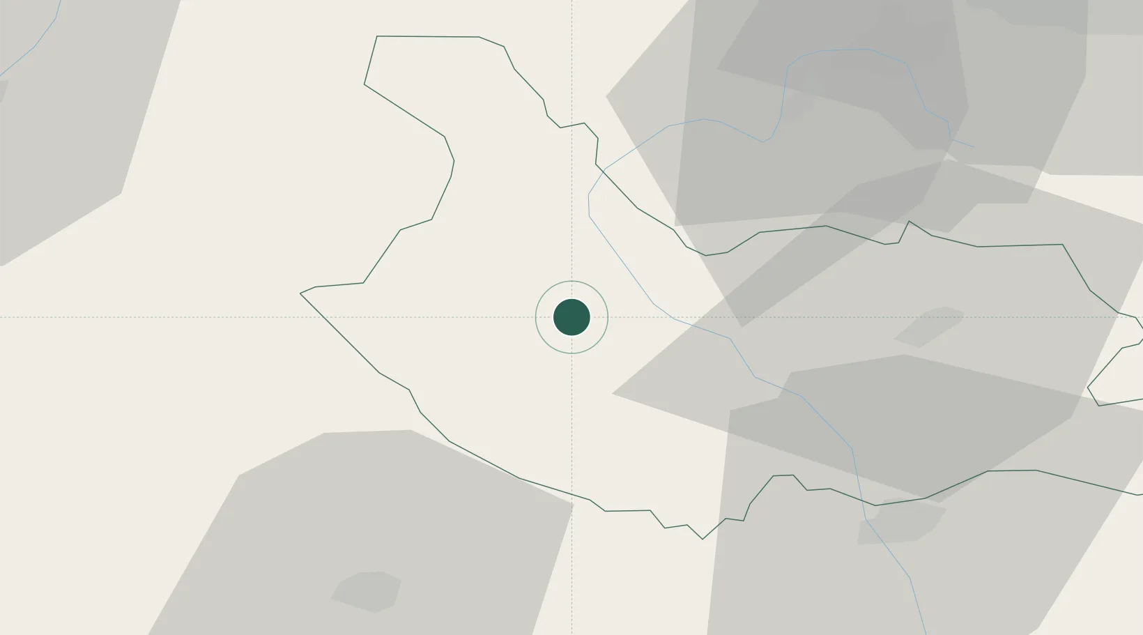
Kyustendil
Population
46,856
Time zone
Europe/Sofia
Elevation
514 m
Location
Nearby Logistics Neighbours
Cities
- 1Gyueshevo17 km
- 2Dupnica36 km
- 3Staro Selo41 km
- 4Bankya59 km
- 5Bankya63 km
Ports
- 1Thessaloniki185 km
- 2Kavala207 km
- 3Stratoni219 km
- 4Yerakini234 km
- 5Lagos249 km
Airports
Trade Zones
- 1TIDZ Delčevo35 km
- 2TIDZ Rankovce43 km
- 3TIDZ Vinica46 km
- 4TIDZ Berovo66 km
- 5Vranje Free Zone70 km
DatabookThe Record of Consolidated Knowledge
Bulgaria beyond logistics?