Transport Functions
Rail
Road
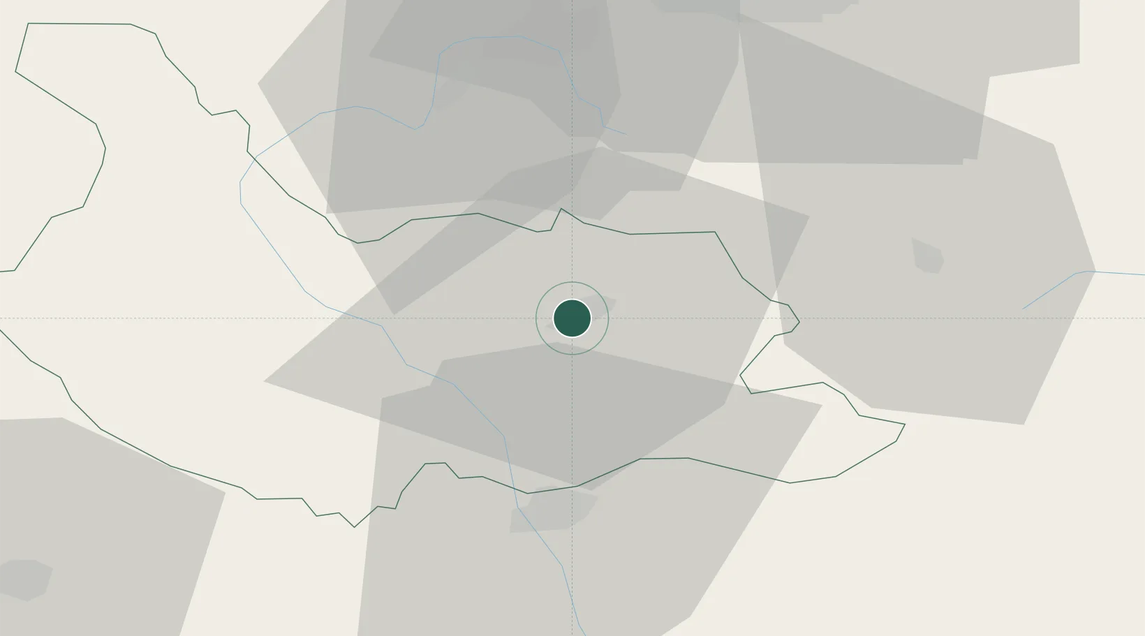
Location
Nearby Logistics Neighbours
Cities
- 1Staro Selo20 km
- 2Kyustendil36 km
- 3Gorublyane47 km
- 4Bankya48 km
- 5Razlog52 km
Ports
- 1Thessaloniki182 km
- 2Kavala183 km
- 3Stratoni204 km
- 4Lagos219 km
- 5Yerakini224 km
Airports
- 1Sofia Airport54 km
- 2Skopje International Airport128 km
- 3Graf Ignatievo Air Base131 km
- 4Plovdiv International Airport145 km
- 5Niš Constantine the Great Airport157 km
Trade Zones
- 1TIDZ Delčevo42 km
- 2TIDZ Vinica66 km
- 3TIDZ Berovo67 km
- 4Dragoman Free Economic Zone74 km
- 5TIDZ Rankovce77 km
DatabookThe Record of Consolidated Knowledge
Bulgaria beyond logistics?