UN/LOCODE hub · Bulgaria
BGBLO

Lyuliakovo

43.3833°, 27.0167°
1
Transport functions

Transport Functions

Multimodal
UN/LOCODE

Hub Profile

Region
02
GeoNames

Location

Location of BGBLO
Natural Earth 10m (public domain) · 02 · BGBLO · 43.38, 27.02GoogleOSMYandex

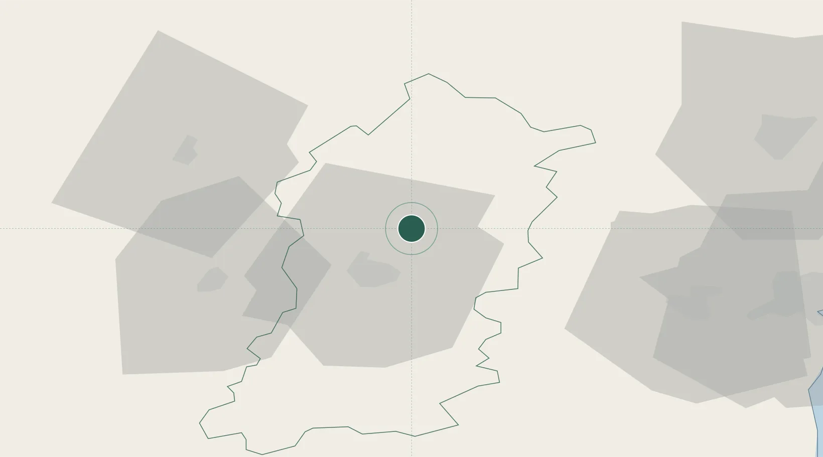
Nearby Logistics Neighbours

Cities
  1. 1Shumen15 km
  2. 2Targovishte38 km
  3. 3Lomci51 km
  4. 4Kubrat62 km
  5. 5Ignatievo63 km
Nearest neighbours — logibook spatial index (haversine) over the source coordinates
Ports
  1. 1Varna80 km
  2. 2Burgas107 km
  3. 3Cernavoda134 km
  4. 4Mangalia135 km
  5. 5Medgidia139 km
Nearest neighbours — logibook spatial index (haversine) over the source coordinates
Airports
  1. 1Varna Airport68 km
  2. 2Balchik Airfield94 km
  3. 3Burgas Airport99 km
  4. 4Gorna Oryahovitsa Airport109 km
  5. 5Bezmer Air Base117 km
Nearest neighbours — logibook spatial index (haversine) over the source coordinates
Trade Zones
  1. 1Rousse Free Zone98 km
  2. 2Bourgas Free Economic Zone102 km
  3. 3Free Zone Giurgiu102 km
  4. 4Free Zone Constanō£a Sud si Basarabi134 km
  5. 5VGP Park Buharest North148 km
Nearest neighbours — logibook spatial index (haversine) over the source coordinates
DatabookThe Record of Consolidated Knowledge
Bulgaria beyond logistics?
Browse databook

All Sources

LocationsUN/LOCODE
UN/LOCODE — free
Portsthe NGA World Port Index
Public domain (US gov)
AirportsOurAirports
Public domain
Trade Zonesthe World Bank SEZ database
CC BY 4.0
Trade ZonesOpen Zone Map
CC BY
← Bulgaria locations