Transport Functions
Rail
Road
Airport
Hub Profile
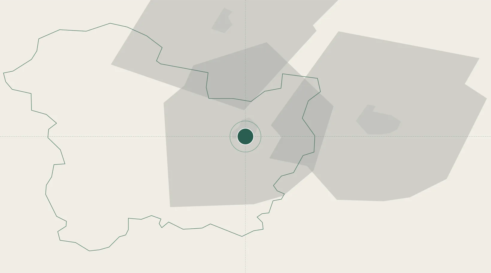
Place type
Regional capital
Region
Targovishte
Population
34,793
Time zone
Europe/Sofia
Elevation
186 m
Location
Nearby Logistics Neighbours
Cities
- 1Shumen27 km
- 2Liaskovec32 km
- 3Lyuliakovo38 km
- 4Lomci52 km
- 5Kubrat62 km
Airports
- 1Gorna Oryahovitsa Airport71 km
- 2Bezmer Air Base90 km
- 3Varna Airport101 km
- 4Burgas Airport107 km
- 5Balchik Airfield131 km
Trade Zones
- 1Rousse Free Zone84 km
- 2Free Zone Giurgiu88 km
- 3Bourgas Free Economic Zone106 km
- 4VGP Park Buharest North145 km
- 5Svilengrad Free Economic Zone168 km
DatabookThe Record of Consolidated Knowledge
Bulgaria beyond logistics?