Transport Functions
Multimodal
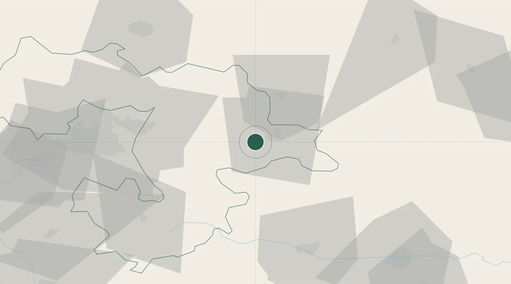
Hub Profile
Place type
Populated place
Region
Sofia
Population
1,760
Time zone
Europe/Sofia
Elevation
716 m
Location
Nearby Logistics Neighbours
Cities
- 1Koprivshtitsa23 km
- 2Kostenets48 km
- 3Chepintsi54 km
- 4Sofia55 km
- 5Gorublyane56 km
Ports
- 1Kavala198 km
- 2Lagos208 km
- 3Stratoni244 km
- 4Thessaloniki249 km
- 5Alexandroupoli256 km
Airports
- 1Sofia Airport54 km
- 2Graf Ignatievo Air Base69 km
- 3Dolna Mitropoliya Air Base90 km
- 4Plovdiv International Airport94 km
- 5Gorna Oryahovitsa Airport142 km
Trade Zones
DatabookThe Record of Consolidated Knowledge
Bulgaria beyond logistics?