Transport Functions
Multimodal
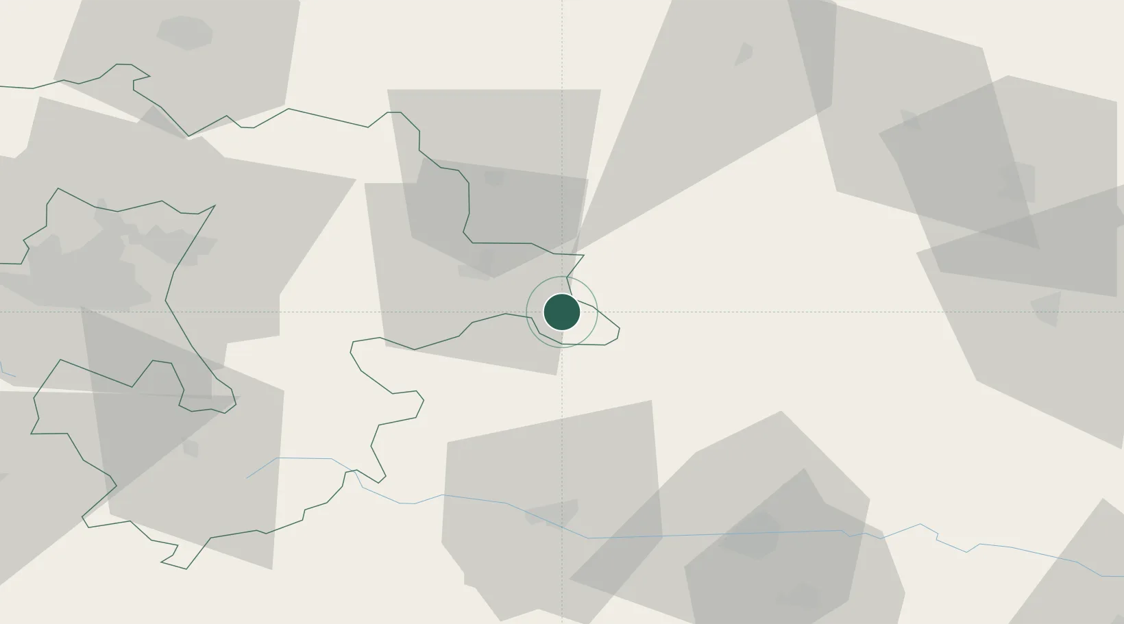
Hub Profile
Place type
Populated place
Region
Sofia
Population
2,885
Time zone
Europe/Sofia
Elevation
1,098 m
Location
Nearby Logistics Neighbours
Cities
- 1Chelopech23 km
- 2Saedinenie44 km
- 3Radinovo55 km
- 4Kostenets55 km
- 5Stamboliyski58 km
Ports
- 1Kavala189 km
- 2Lagos193 km
- 3Alexandroupoli237 km
- 4Stratoni239 km
- 5Thessaloniki252 km
Airports
- 1Graf Ignatievo Air Base48 km
- 2Plovdiv International Airport75 km
- 3Sofia Airport77 km
- 4Dolna Mitropoliya Air Base92 km
- 5Gorna Oryahovitsa Airport125 km
Trade Zones
DatabookThe Record of Consolidated Knowledge
Bulgaria beyond logistics?