UN/LOCODE hub · Bulgaria
BGKOS

Kostenets

42.3000°, 23.8500°
2
Transport functions

Transport Functions

Rail
Road
UN/LOCODE

Hub Profile

Place type
Populated place
GeoNames
Region
Sofia
GeoNames
Time zone
Europe/Sofia
GeoNames
Elevation
515 m
GeoNames

Location

Location of BGKOS
Natural Earth 10m (public domain) · Sofia · BGKOS · 42.30, 23.85GoogleOSMYandex

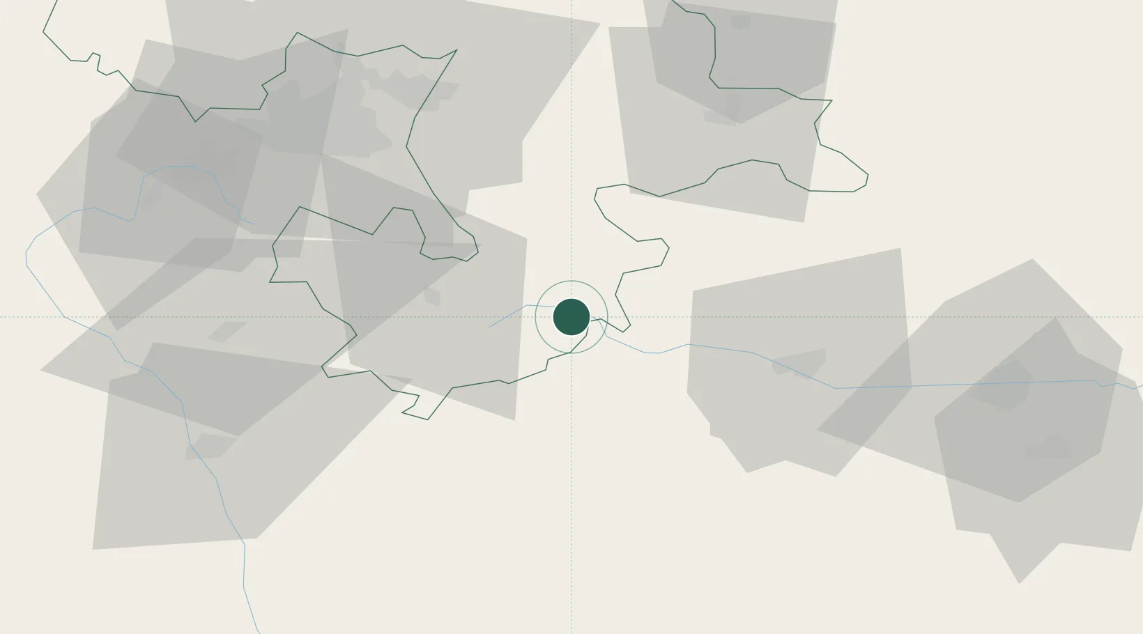
Nearby Logistics Neighbours

Cities
  1. 1Yakoruda38 km
  2. 2Panagyurishte44 km
  3. 3Chelopech48 km
  4. 4Batak49 km
  5. 5Gorublyane52 km
Nearest neighbours — logibook spatial index (haversine) over the source coordinates
Ports
  1. 1Kavala159 km
  2. 2Lagos180 km
  3. 3Stratoni198 km
  4. 4Thessaloniki200 km
  5. 5Yerakini228 km
Nearest neighbours — logibook spatial index (haversine) over the source coordinates
Airports
  1. 1Sofia Airport57 km
  2. 2Graf Ignatievo Air Base71 km
  3. 3Plovdiv International Airport86 km
  4. 4Dolna Mitropoliya Air Base139 km
  5. 5Kavala Alexander the Great International Airport167 km
Nearest neighbours — logibook spatial index (haversine) over the source coordinates
Trade Zones
  1. 1Plovdiv Free Zone54 km
  2. 2Maritsa Industrial and Commercial Zone75 km
  3. 3Trakia Economic Zone77 km
  4. 4Kuklen Industrial and Commercial Zone83 km
  5. 5TIDZ Delčevo95 km
Nearest neighbours — logibook spatial index (haversine) over the source coordinates
DatabookThe Record of Consolidated Knowledge
Bulgaria beyond logistics?
Browse databook

All Sources

LocationsUN/LOCODE
UN/LOCODE — free
Portsthe NGA World Port Index
Public domain (US gov)
AirportsOurAirports
Public domain
Trade Zonesthe World Bank SEZ database
CC BY 4.0
Trade ZonesOpen Zone Map
CC BY
← Bulgaria locations