Transport Functions
Rail
Road
Border Crossing
Hub Profile
Place type
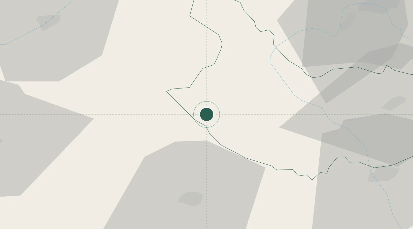
Populated place
Region
Kyustendil
Time zone
Europe/Sofia
Elevation
942 m
Location
Nearby Logistics Neighbours
Cities
- 1Kyustendil17 km
- 2Dupnica52 km
- 3Staro Selo59 km
- 4Vranje60 km
- 5Sveti Nikole62 km
Ports
- 1Thessaloniki182 km
- 2Kavala215 km
- 3Stratoni222 km
- 4Yerakini234 km
- 5Shengjin243 km
Airports
Trade Zones
- 1TIDZ Rankovce25 km
- 2TIDZ Delčevo38 km
- 3TIDZ Vinica38 km
- 4TIDZ ō tip58 km
- 5Vranje Free Zone58 km
DatabookThe Record of Consolidated Knowledge
Bulgaria beyond logistics?