Transport Functions
Rail
Road
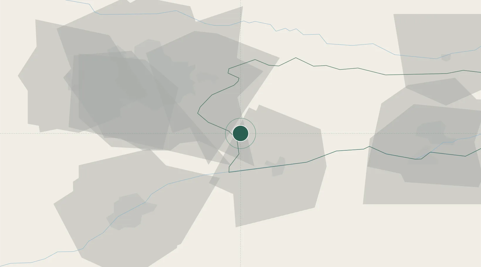
Location
Nearby Logistics Neighbours
Cities
- 1Oltenita22 km
- 2Glina24 km
- 3Fundulea26 km
- 4Popesti-Leordeni29 km
- 5Sindrilita34 km
Airports
Trade Zones
- 1VGP Park Buharest North49 km
- 2Rousse Free Zone53 km
- 3Free Zone Giurgiu56 km
- 4Free Zone Galați136 km
- 5Free Zone Constanō£a Sud si Basarabi154 km
DatabookThe Record of Consolidated Knowledge
Romania beyond logistics?