Transport Functions
Port
Rail
Road
Hub Profile
Place type
Provincial seat
Region
Central Serbia
Population
56,199
Time zone
Europe/Belgrade
Elevation
468 m
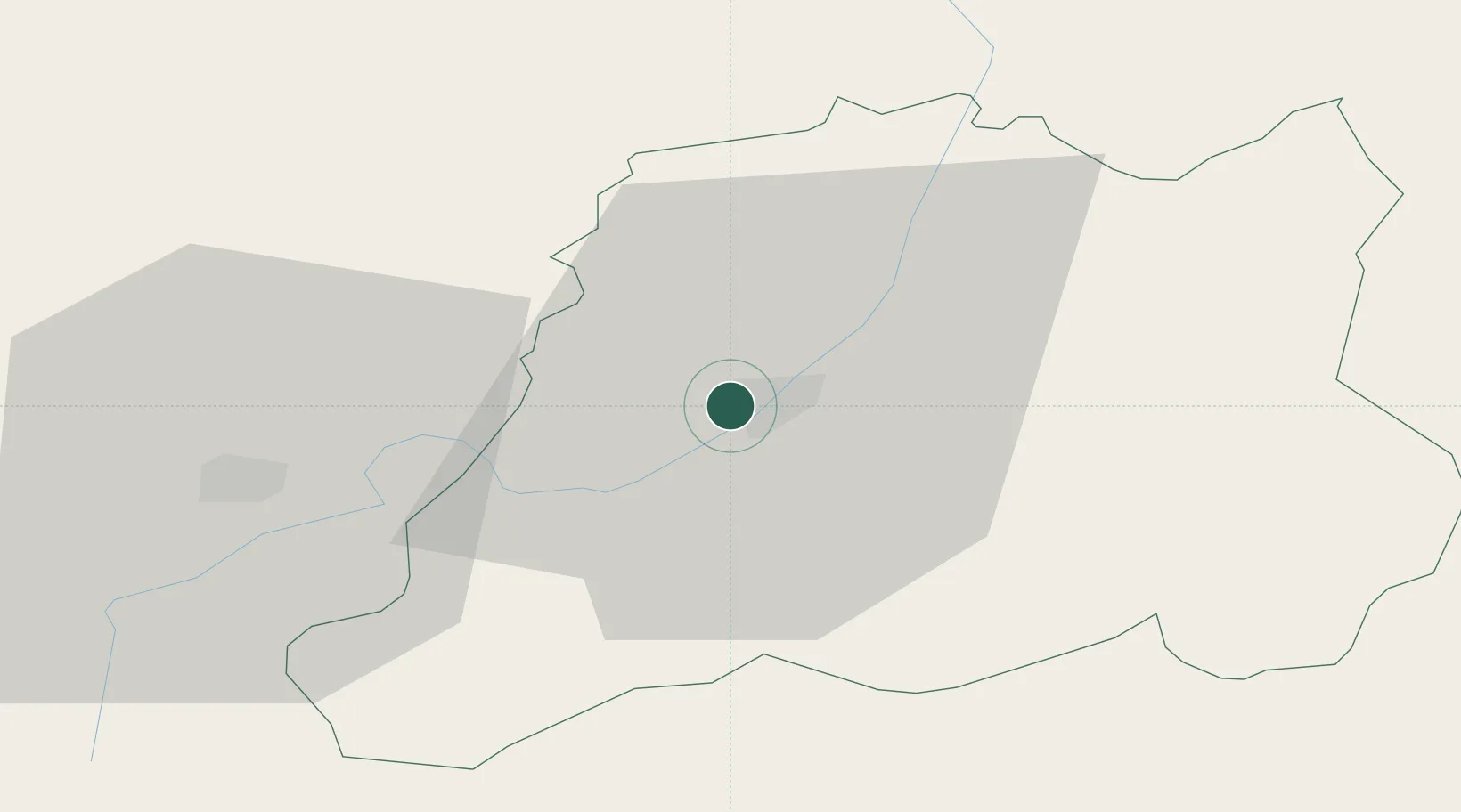
Location
Nearby Logistics Neighbours
Ports
- 1Shengjin206 km
- 2Thessaloniki230 km
- 3Bar237 km
- 4Porto Romano243 km
- 5Durres245 km
Airports
Trade Zones
- 1Vranje Free Zone1 km
- 2TIDZ Rankovce47 km
- 3Industrial Park in Viti (Gjilan)51 km
- 4Industrial Park in Lipjan64 km
- 5TIDZ Skopje 366 km
DatabookThe Record of Consolidated Knowledge
Serbia beyond logistics?