Diversified Zone · North Macedonia
TIDZ ō tip Active
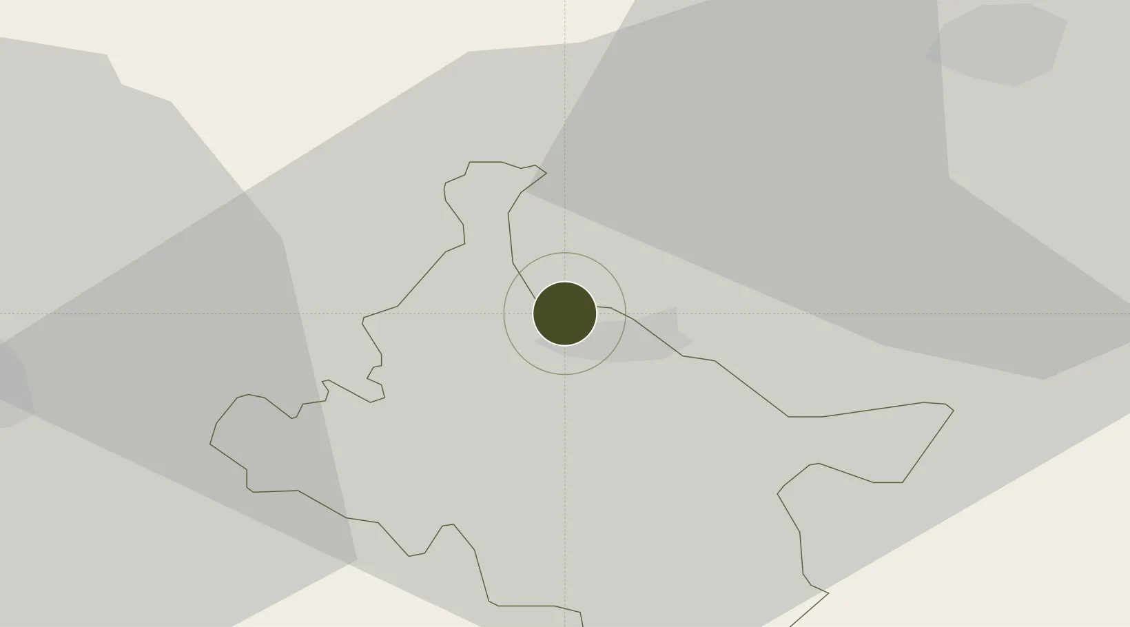
41.7734°, 22.1584°
208 ha
Zone area
142.4 km
Nearest port
48.9 km
Nearest airport
Gateway access
Zone profile
Zone type
Diversified Zone
Region
Štip
Status
Active
Management
Public
Operator
Isar-Stip Municipality
Legal framework
Law On Technical-Industrial Development Zones 14/2007
Location
Nearby Logistics Neighbours
Ports
- 1Thessaloniki142 km
- 2Stratoni198 km
- 3Yerakini200 km
- 4Kavala209 km
- 5Lagos263 km
Airports
Cities
- 1Lozovo19 km
- 2Sveti Nikole21 km
- 3Radovis32 km
- 4Titov Veles34 km
- 5Veles34 km
Trade Zones
- 1TIDZ Radoviš30 km
- 2TIDZ Vinica30 km
- 3TIDZ Rankovce46 km
- 4TIDZ Skopje 1 - Bunardō¾ik51 km
- 5TIDZ Skopje 252 km
DatabookThe Record of Consolidated Knowledge
North Macedonia beyond logistics?