UN/LOCODE hub · North Macedonia
MKSNI
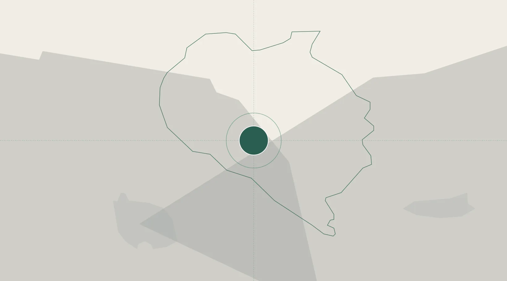
Sveti Nikole
41.8500°, 21.9333°
13,292
Population
1
Transport functions
Transport Functions
Port
Hub Profile
Place type
Regional capital
Region
Sveti Nikole
Population
13,292
Time zone
Europe/Skopje
Elevation
297 m
Location
Nearby Logistics Neighbours
Cities
- 1Lozovo11 km
- 2Titov Veles22 km
- 3Veles22 km
- 4Radovis52 km
- 5Presevo56 km
Ports
- 1Thessaloniki159 km
- 2Shengjin193 km
- 3Durres215 km
- 4Porto Romano216 km
- 5Stratoni217 km
Airports
Trade Zones
- 1TIDZ ō tip21 km
- 2TIDZ Skopje 1 - Bunardō¾ik30 km
- 3TIDZ Skopje 232 km
- 4TIDZ Skopje 332 km
- 5TIDZ Rankovce43 km
DatabookThe Record of Consolidated Knowledge
North Macedonia beyond logistics?