Transport Functions
Port
Rail
Road
Hub Profile
Place type
Populated place
Region
Wallonia
Population
2,424
Time zone
Europe/Brussels
Elevation
115 m
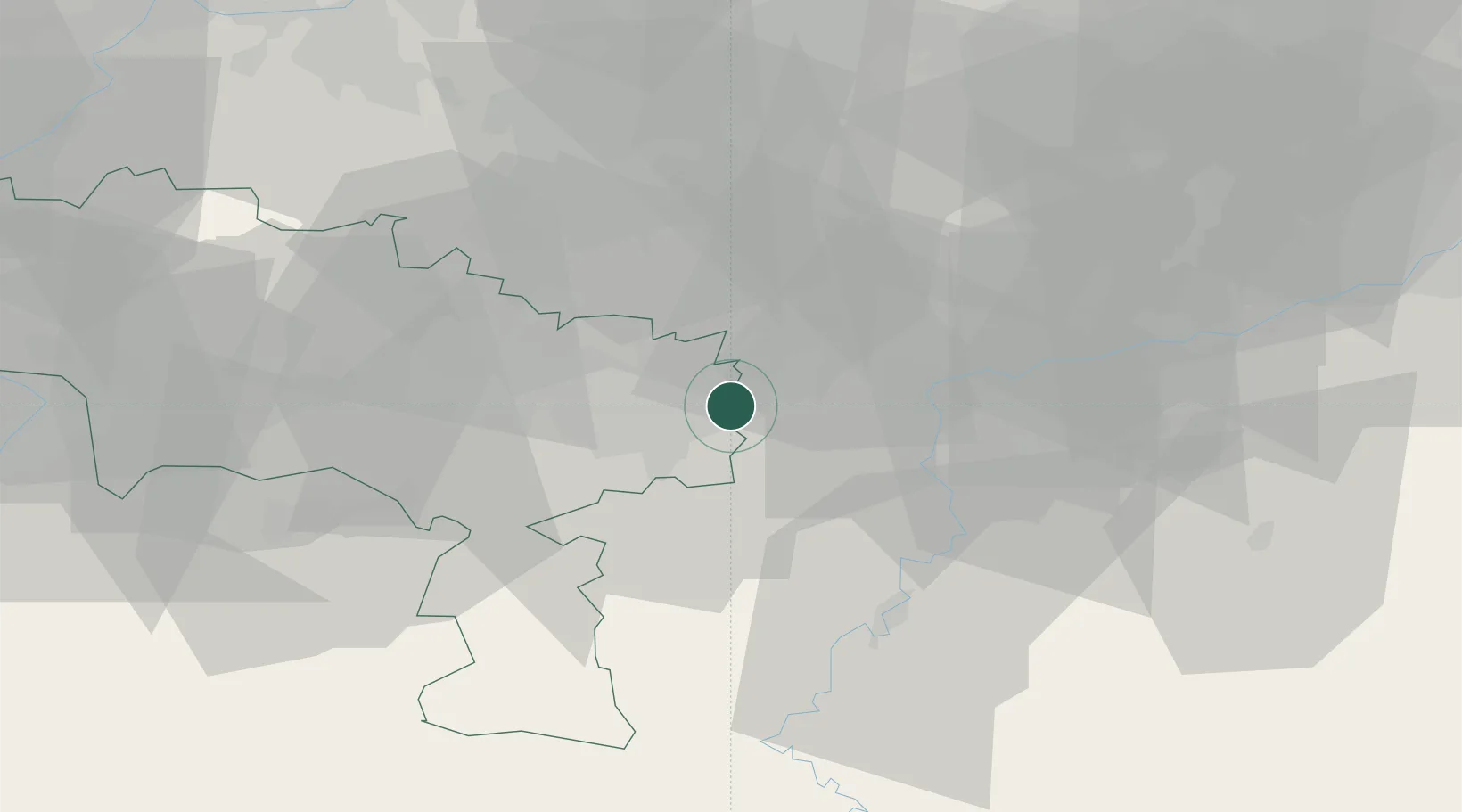
Location
Nearby Logistics Neighbours
Cities
- 1Tamines1 km
- 2Moignelée2 km
- 3Farciennes2 km
- 4Tergnée2 km
- 5Auvelais3 km
Airports
- 1Brussels South Charleroi Airport9 km
- 2Florennes Air Base22 km
- 3Beauvechain Air Base39 km
- 4Brussels Airport53 km
- 5Chièvres Air Base56 km
Trade Zones
DatabookThe Record of Consolidated Knowledge
Belgium beyond logistics?