Transport Functions
Port
Road
Hub Profile
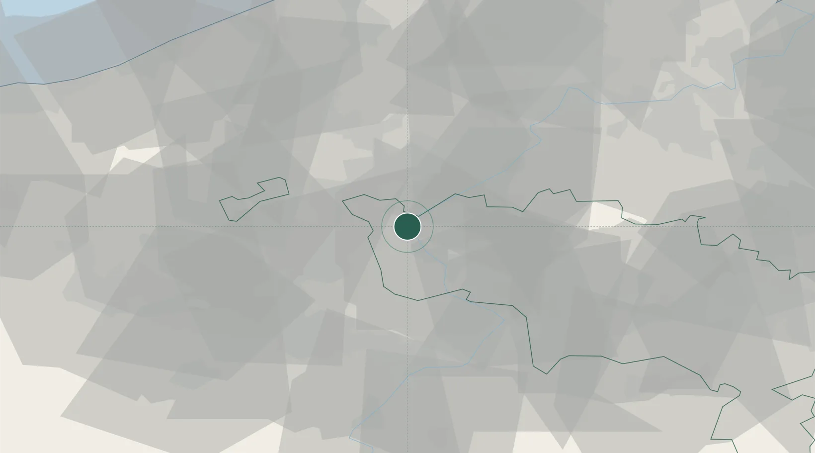
Place type
Populated place
Region
Wallonia
Population
1,498
Time zone
Europe/Brussels
Elevation
23 m
Location
Nearby Logistics Neighbours
Cities
- 1Esquelmes2 km
- 2Warcoing2 km
- 3Espierres (Spiere)4 km
- 4Ramegnies-Chin4 km
- 5Kain6 km
Ports
- 1Ghent51 km
- 2Bruges62 km
- 3Nieuwpoort65 km
- 4Oostende68 km
- 5Zeebrugge73 km
Airports
Trade Zones
DatabookThe Record of Consolidated Knowledge
Belgium beyond logistics?