Transport Functions
Port
Rail
Road
Hub Profile
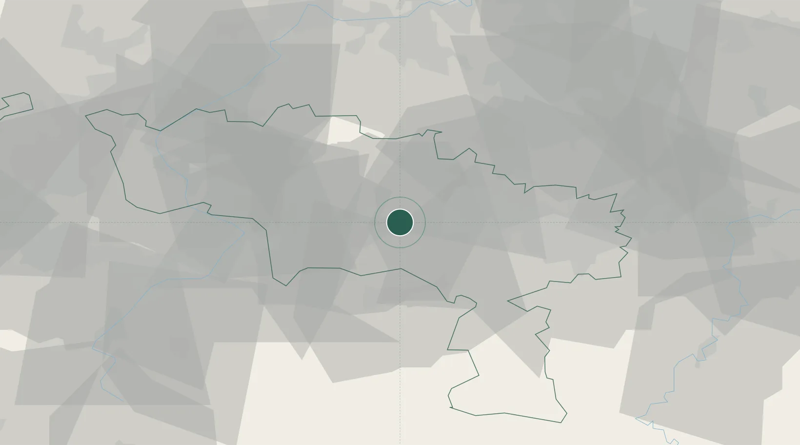
Place type
Populated place
Region
Wallonia
Population
4,429
Time zone
Europe/Brussels
Elevation
46 m
Location
Nearby Logistics Neighbours
Cities
- 1Havré2 km
- 2Ville-sur-Haine4 km
- 3Nimy4 km
- 4Maisières4 km
- 5Mons5 km
Airports
- 1Chièvres Air Base17 km
- 2Brussels South Charleroi Airport33 km
- 3Valenciennes-Denain Airfield41 km
- 4Florennes Air Base52 km
- 5Brussels Airport59 km
DatabookThe Record of Consolidated Knowledge
Belgium beyond logistics?