Transport Functions
Port
Road
Hub Profile
Place type
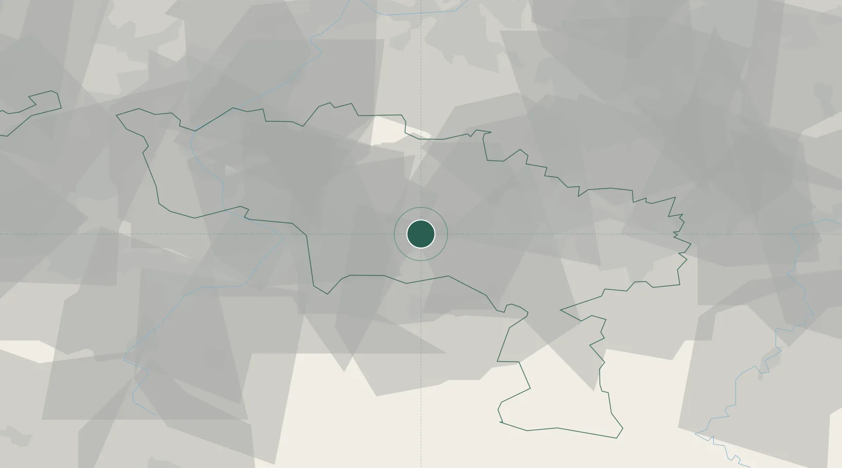
Populated place
Region
Wallonia
Population
95,299
Time zone
Europe/Brussels
Elevation
56 m
Location
Nearby Logistics Neighbours
Airports
- 1Chièvres Air Base16 km
- 2Valenciennes-Denain Airfield36 km
- 3Brussels South Charleroi Airport37 km
- 4Florennes Air Base56 km
- 5Lille Airport60 km
DatabookThe Record of Consolidated Knowledge
Belgium beyond logistics?