UN/LOCODE hub · Belgium
BEKPB
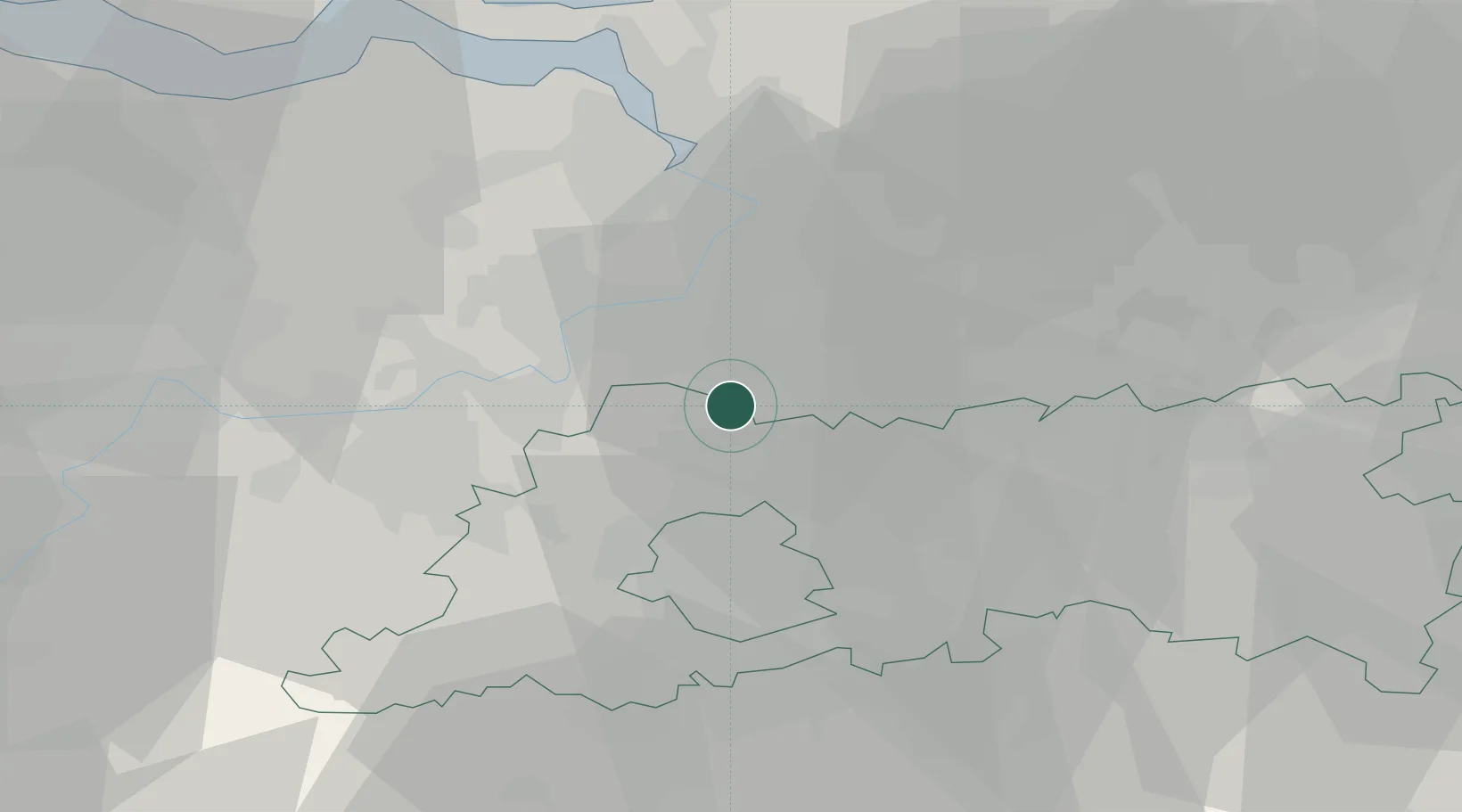
Kapelle-op-den-Bos
51.0167°, 4.3667°
8,859
Population
2
Transport functions
Transport Functions
Port
Road
Hub Profile
Place type
Populated place
Region
Flanders
Population
8,859
Time zone
Europe/Brussels
Elevation
12 m
Location
Nearby Logistics Neighbours
Cities
- 1Tisselt2 km
- 2Humbeek6 km
- 3Puurs6 km
- 4Heindonk6 km
- 5Willebroek6 km
Airports
- 1Brussels Airport15 km
- 2Antwerp International Airport (Deurne)21 km
- 3Beauvechain Air Base40 km
- 4Woensdrecht Air Base48 km
- 5Chièvres Air Base62 km
Trade Zones
- 1ZFU Condé sur lEscaut83 km
- 2ZFU Maubeuge, Louvroil90 km
- 3ZFU Tourcoing91 km
- 4ZFU Hem et Roubaix92 km
- 5ZFU de Lille et de Loos104 km
DatabookThe Record of Consolidated Knowledge
Belgium beyond logistics?