Transport Functions
Port
Rail
Road
Airport
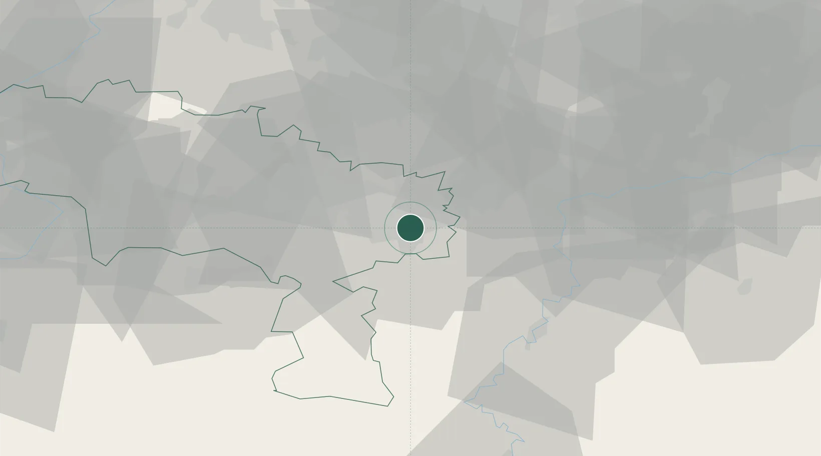
Hub Profile
Place type
Populated place
Region
Wallonia
Population
200,132
Time zone
Europe/Brussels
Elevation
136 m
Logistics facilities
1
Location
Nearby Logistics Neighbours
Cities
- 1Montignies-sur-Sambre1 km
- 2Couillet3 km
- 3Châtelineau3 km
- 4Pont-de-Loup4 km
- 5Farciennes6 km
Airports
- 1Brussels South Charleroi Airport8 km
- 2Florennes Air Base20 km
- 3Beauvechain Air Base45 km
- 4Chièvres Air Base51 km
- 5Brussels Airport56 km
Trade Zones
DatabookThe Record of Consolidated Knowledge
Belgium beyond logistics?