Transport Functions
Port
Road
Hub Profile
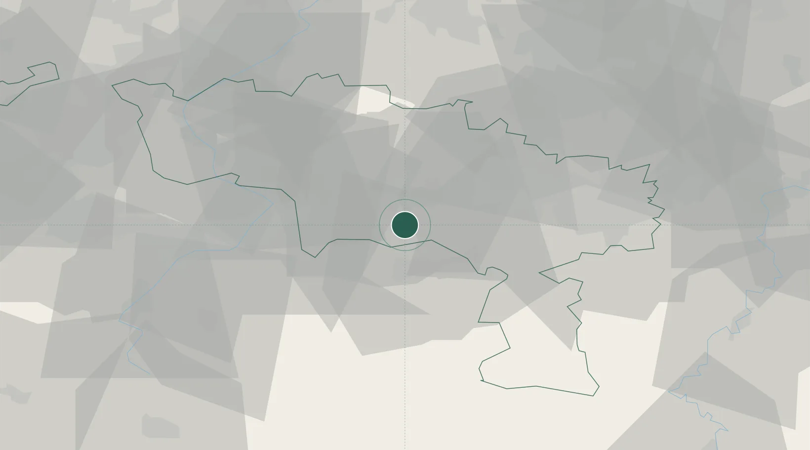
Place type
Populated place
Region
Wallonia
Population
379
Time zone
Europe/Brussels
Elevation
77 m
Location
Nearby Logistics Neighbours
Cities
- 1Blaregnies5 km
- 2Bettignies6 km
- 3Mons7 km
- 4Nimy9 km
- 5Ghlin10 km
Airports
- 1Chièvres Air Base23 km
- 2Valenciennes-Denain Airfield34 km
- 3Brussels South Charleroi Airport38 km
- 4Florennes Air Base53 km
- 5Lille Airport62 km
DatabookThe Record of Consolidated Knowledge
Belgium beyond logistics?