Transport Functions
Port
Road
Hub Profile
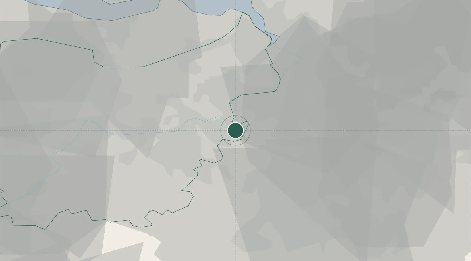
Place type
Populated place
Region
Flanders
Population
13,510
Time zone
Europe/Brussels
Elevation
9 m
Location
Nearby Logistics Neighbours
Cities
- 1Baasrode3 km
- 2Sint-Amands4 km
- 3Dendermonde6 km
- 4Moerzeke7 km
- 5Grembergen8 km
Airports
- 1Brussels Airport24 km
- 2Antwerp International Airport (Deurne)27 km
- 3Woensdrecht Air Base49 km
- 4Beauvechain Air Base49 km
- 5Chièvres Air Base56 km
Trade Zones
- 1ZFU Condé sur lEscaut75 km
- 2ZFU Tourcoing80 km
- 3ZFU Hem et Roubaix81 km
- 4ZFU Maubeuge, Louvroil86 km
- 5ZFU de Lille et de Loos94 km
DatabookThe Record of Consolidated Knowledge
Belgium beyond logistics?