Transport Functions
Port
Road
Hub Profile
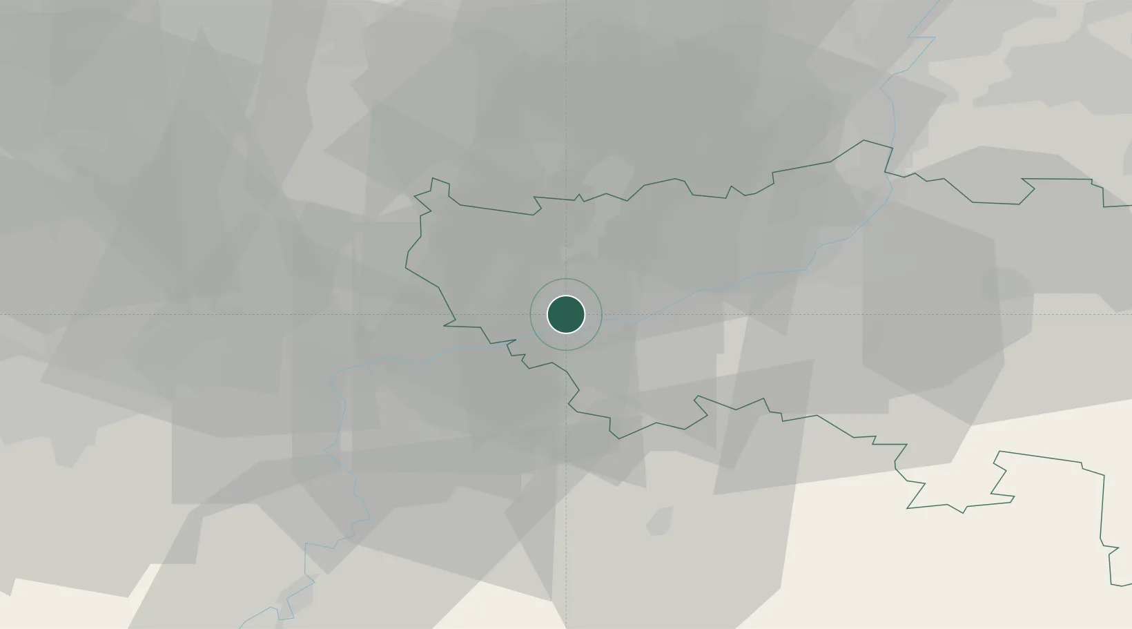
Place type
Populated place
Region
Wallonia
Population
4,447
Time zone
Europe/Brussels
Elevation
104 m
Location
Nearby Logistics Neighbours
Airports
- 1Liège Airport19 km
- 2Beauvechain Air Base39 km
- 3Florennes Air Base53 km
- 4Brussels South Charleroi Airport54 km
- 5Maastricht Aachen Airport56 km
Trade Zones
- 1Rheinische Revier SWZ91 km
- 2ZFU Ronde Couture96 km
- 3ZFU Maubeuge, Louvroil97 km
- 4ZFU Condé sur lEscaut116 km
- 5Luxembourg Free Port124 km
DatabookThe Record of Consolidated Knowledge
Belgium beyond logistics?