Transport Functions
Port
Road
Hub Profile
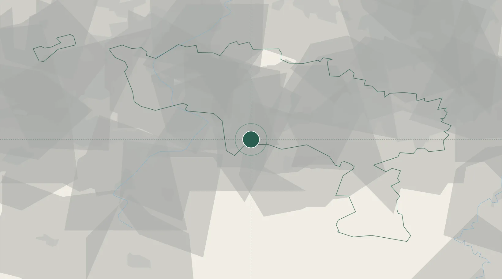
Place type
Populated place
Region
Wallonia
Population
471
Time zone
Europe/Brussels
Elevation
113 m
Location
Nearby Logistics Neighbours
Cities
- 1Thulin8 km
- 2Quiévrechain8 km
- 3Hornu8 km
- 4Blaregnies9 km
- 5Saint-Ghislain10 km
Airports
DatabookThe Record of Consolidated Knowledge
Belgium beyond logistics?