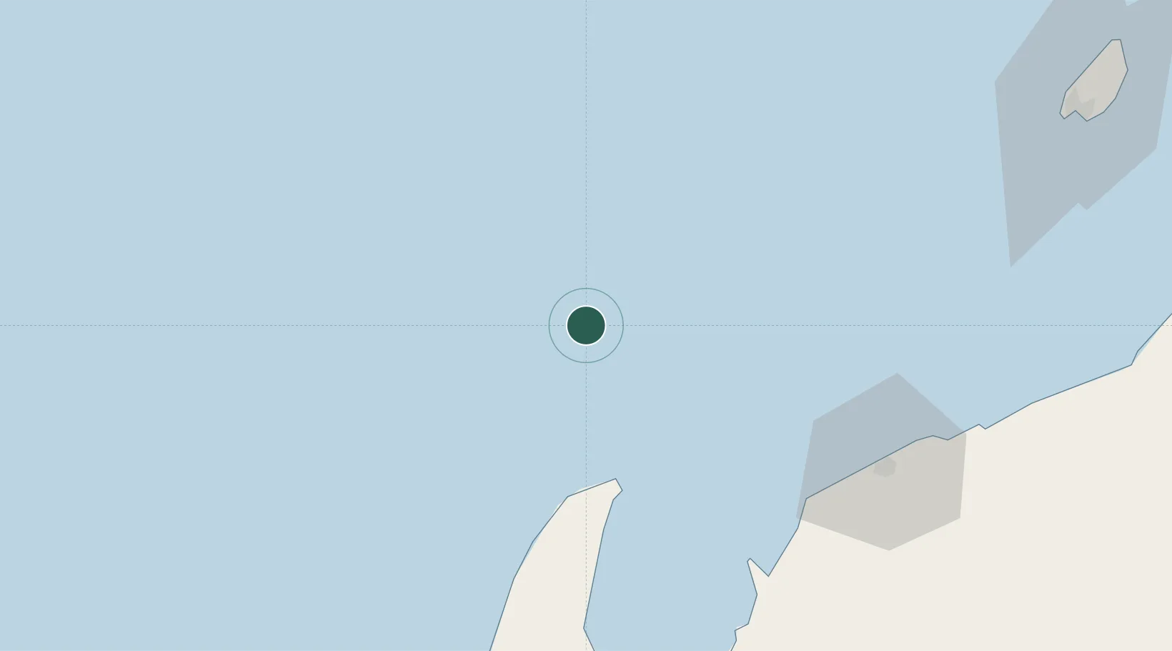
UN/LOCODE hub · Australia
AUVGH

Van Gogh Terminal

-21.4000°, 114.0833°
1
Transport functions

Transport Functions

Port
UN/LOCODE

Location

Location of AUVGH
Natural Earth 10m (public domain) · Western Australia · AUVGH · -21.40, 114.08GoogleOSMYandex

Nearby Logistics Neighbours

Cities
  1. 1Ningaloo Vision0 km
  2. 2Nganhurra13 km
  3. 3Griffin Venture (oil Terminal)61 km
  4. 4Woollybutt (Oil facility)90 km
  5. 5Thevenard Island93 km
Nearest neighbours — logibook spatial index (haversine) over the source coordinates
Ports
  1. 1Onslow109 km
  2. 2Dampier286 km
  3. 3Cape Cuvier321 km
  4. 4Port Walcott332 km
  5. 5Port Hedland483 km
Nearest neighbours — logibook spatial index (haversine) over the source coordinates
Airports
  1. 1Learmonth Airport93 km
  2. 2Karratha Airport289 km
  3. 3Eliwana311 km
  4. 4Carnarvon Airport390 km
  5. 5Paraburdoo Airport425 km
Nearest neighbours — logibook spatial index (haversine) over the source coordinates
Trade Zones
  1. 1KEK Mandalika1411 km
  2. 2KEK Singhasari1511 km
  3. 3Pasuruan Industrial Estate Rembang1540 km
  4. 4Ngoro Industrial Park1547 km
  5. 5Safe N Lock Industrial Estate1556 km
Nearest neighbours — logibook spatial index (haversine) over the source coordinates
DatabookThe Record of Consolidated Knowledge
Australia beyond logistics?
Browse databook

All Sources

LocationsUN/LOCODE
UN/LOCODE — free
Portsthe NGA World Port Index
Public domain (US gov)
AirportsOurAirports
Public domain
Trade Zonesthe World Bank SEZ database
CC BY 4.0
Trade ZonesOpen Zone Map
CC BY
← Australia locations