Transport Functions
Port
Fixed Transport
Hub Profile
Region
WA
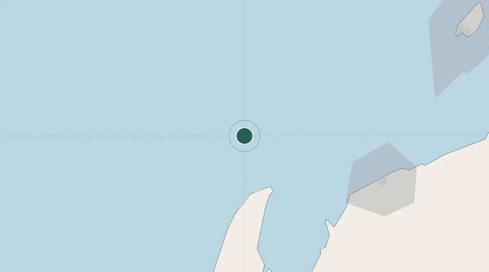
Location
Nearby Logistics Neighbours
Cities
- 1Ningaloo Vision13 km
- 2Van Gogh Terminal13 km
- 3Griffin Venture (oil Terminal)72 km
- 4Thevenard Island102 km
- 5Woollybutt (Oil facility)102 km
Ports
- 1Onslow115 km
- 2Dampier297 km
- 3Cape Cuvier310 km
- 4Port Walcott343 km
- 5Port Hedland493 km
Airports
- 1Learmonth Airport84 km
- 2Karratha Airport300 km
- 3Eliwana316 km
- 4Carnarvon Airport380 km
- 5Paraburdoo Airport429 km
Trade Zones
- 1KEK Mandalika1421 km
- 2KEK Singhasari1519 km
- 3Pasuruan Industrial Estate Rembang1548 km
- 4Ngoro Industrial Park1555 km
- 5Safe N Lock Industrial Estate1565 km
DatabookThe Record of Consolidated Knowledge
Australia beyond logistics?