UN/LOCODE hub · Australia
AUHLR

Hillarys

-31.8000°, 115.7333°
11,200
Population
1
Transport functions

Transport Functions

Multimodal
UN/LOCODE

Hub Profile

Place type
Urban district
GeoNames
Region
Western Australia
GeoNames
Population
11,200
GeoNames
Time zone
Australia/Perth
GeoNames
Elevation
15 m
GeoNames

Location

Location of AUHLR
Natural Earth 10m (public domain) · Western Australia · AUHLR · -31.80, 115.73GoogleOSMYandex

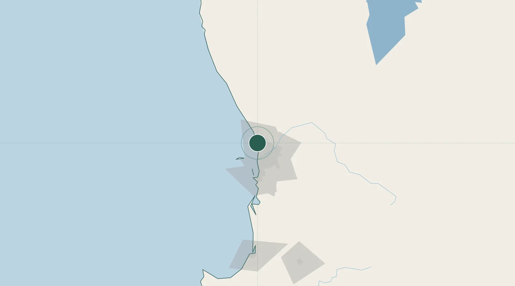
Nearby Logistics Neighbours

Cities
  1. 1Padbury3 km
  2. 2Wangara8 km
  3. 3Mount Hawthorn16 km
  4. 4Malaga17 km
  5. 5Morley17 km
Nearest neighbours — logibook spatial index (haversine) over the source coordinates
Ports
  1. 1Fremantle28 km
  2. 2Bunbury169 km
  3. 3Geraldton353 km
  4. 4Albany411 km
  5. 5Esperance620 km
Nearest neighbours — logibook spatial index (haversine) over the source coordinates
Airports
  1. 1Perth International Airport27 km
  2. 2RAAF Base Pearce30 km
  3. 3Perth Jandakot Airport36 km
  4. 4Busselton Margaret River Regional Airport212 km
  5. 5Karara Airport301 km
Nearest neighbours — logibook spatial index (haversine) over the source coordinates
Trade Zones
  1. 1KEK Mandalika2548 km
  2. 2Oecusse Ambeno Enclave Special Zone For Social Market Economy (Zeesm)2650 km
  3. 3KEK Singhasari2679 km
  4. 4Pasuruan Industrial Estate Rembang2707 km
  5. 5Ngoro Industrial Park2714 km
Nearest neighbours — logibook spatial index (haversine) over the source coordinates
DatabookThe Record of Consolidated Knowledge
Australia beyond logistics?
Browse databook

All Sources

LocationsUN/LOCODE
UN/LOCODE — free
LocationsGeoNames
CC BY 4.0
Portsthe NGA World Port Index
Public domain (US gov)
AirportsOurAirports
Public domain
Trade Zonesthe World Bank SEZ database
CC BY 4.0
Trade ZonesOpen Zone Map
CC BY
← Australia locations