UN/LOCODE hub · Australia
AUMHW
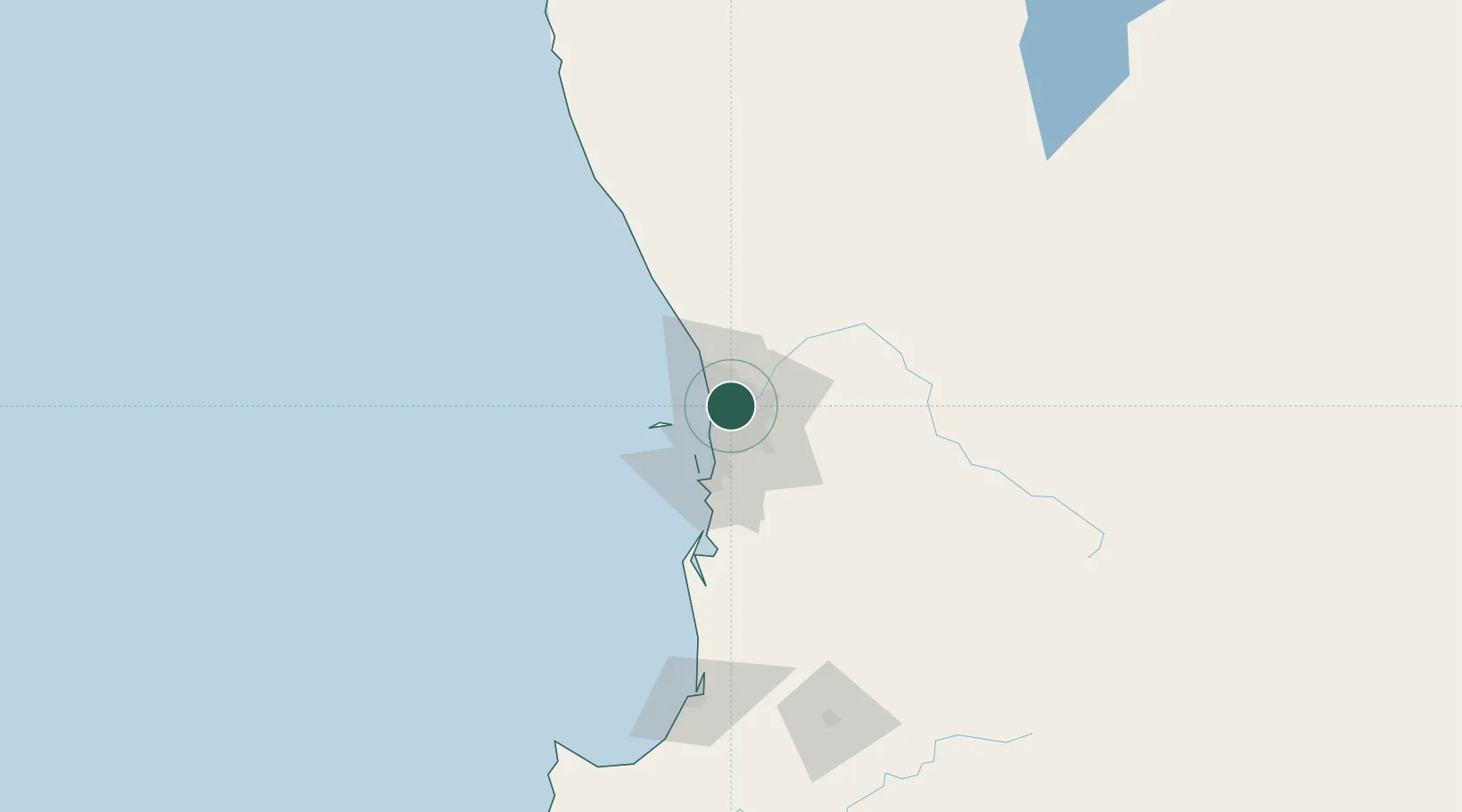
Mount Hawthorn
-31.9167°, 115.8333°
7,351
Population
2
Transport functions
Transport Functions
Port
Multimodal
Hub Profile
Place type
Urban district
Region
Western Australia
Population
7,351
Time zone
Australia/Perth
Elevation
39 m
Location
Nearby Logistics Neighbours
Cities
- 1West Perth4 km
- 2Morley6 km
- 3Nedlands8 km
- 4Ascot8 km
- 5Swanbourne8 km
Airports
- 1Perth International Airport13 km
- 2Perth Jandakot Airport21 km
- 3RAAF Base Pearce33 km
- 4Busselton Margaret River Regional Airport201 km
- 5Karara Airport311 km
Trade Zones
- 1KEK Mandalika2560 km
- 2Oecusse Ambeno Enclave Special Zone For Social Market Economy (Zeesm)2659 km
- 3KEK Singhasari2693 km
- 4Pasuruan Industrial Estate Rembang2721 km
- 5Ngoro Industrial Park2729 km
DatabookThe Record of Consolidated Knowledge
Australia beyond logistics?