UN/LOCODE hub · Australia
AUAGA

Malaga

-31.8500°, 115.9000°
3
Population
1
Transport functions

Transport Functions

Multimodal
UN/LOCODE

Hub Profile

Place type
Urban district
GeoNames
Region
Western Australia
GeoNames
Population
3
GeoNames
Time zone
Australia/Perth
GeoNames
Elevation
42 m
GeoNames

Location

Location of AUAGA
Natural Earth 10m (public domain) · Western Australia · AUAGA · -31.85, 115.90GoogleOSMYandex

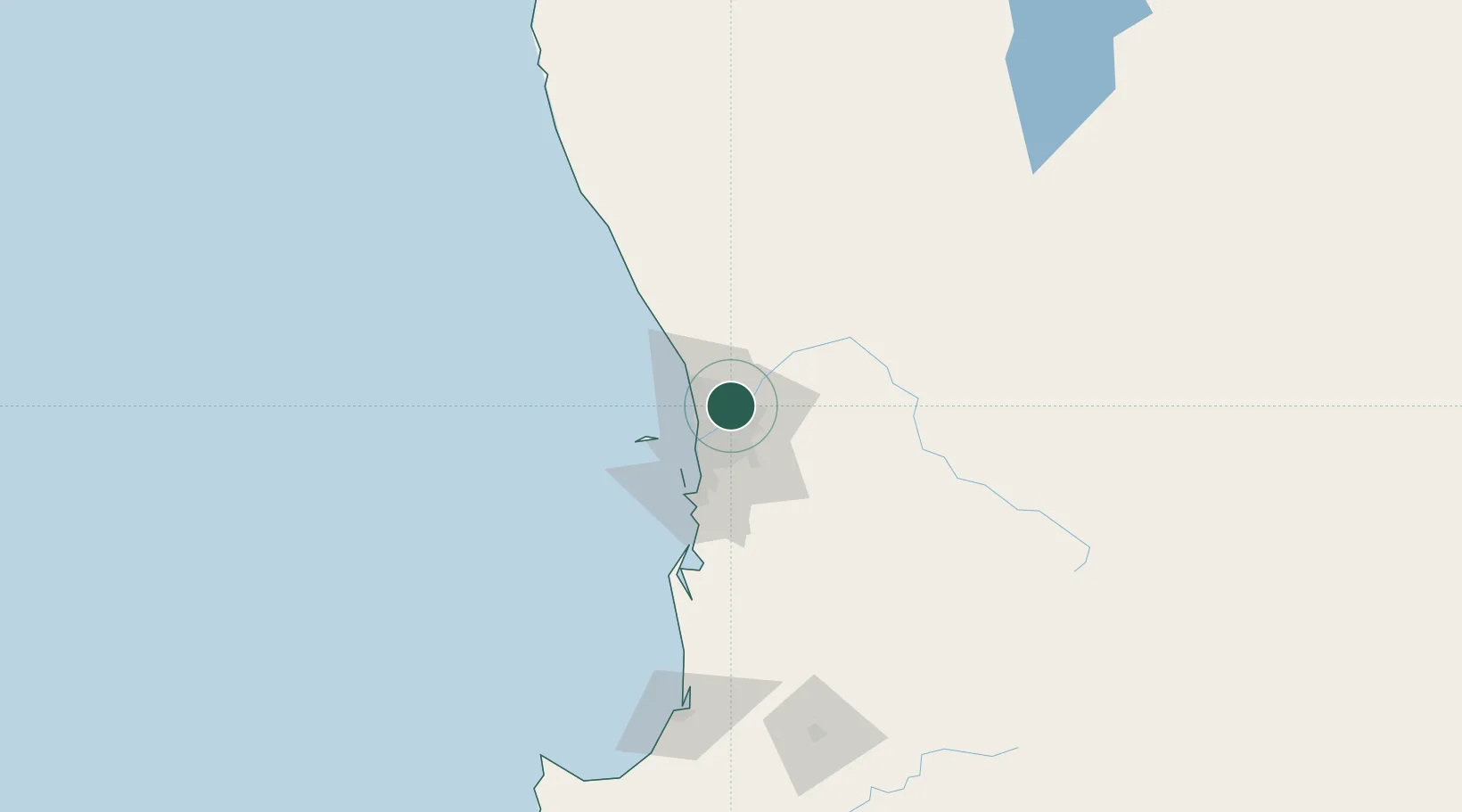
Nearby Logistics Neighbours

Cities
  1. 1Morley4 km
  2. 2Caversham7 km
  3. 3Ashfield8 km
  4. 4Ascot9 km
  5. 5Mount Hawthorn10 km
Nearest neighbours — logibook spatial index (haversine) over the source coordinates
Ports
  1. 1Fremantle26 km
  2. 2Bunbury165 km
  3. 3Geraldton363 km
  4. 4Albany399 km
  5. 5Esperance604 km
Nearest neighbours — logibook spatial index (haversine) over the source coordinates
Airports
  1. 1Perth International Airport12 km
  2. 2RAAF Base Pearce23 km
  3. 3Perth Jandakot Airport28 km
  4. 4Busselton Margaret River Regional Airport210 km
  5. 5Karara Airport302 km
Nearest neighbours — logibook spatial index (haversine) over the source coordinates
Trade Zones
  1. 1KEK Mandalika2553 km
  2. 2Oecusse Ambeno Enclave Special Zone For Social Market Economy (Zeesm)2649 km
  3. 3KEK Singhasari2686 km
  4. 4Pasuruan Industrial Estate Rembang2715 km
  5. 5Ngoro Industrial Park2722 km
Nearest neighbours — logibook spatial index (haversine) over the source coordinates
DatabookThe Record of Consolidated Knowledge
Australia beyond logistics?
Browse databook

All Sources

LocationsUN/LOCODE
UN/LOCODE — free
LocationsGeoNames
CC BY 4.0
Portsthe NGA World Port Index
Public domain (US gov)
AirportsOurAirports
Public domain
Trade Zonesthe World Bank SEZ database
CC BY 4.0
Trade ZonesOpen Zone Map
CC BY
← Australia locations