Transport Functions
Port
Rail
Road
Postal
Hub Profile
Place type
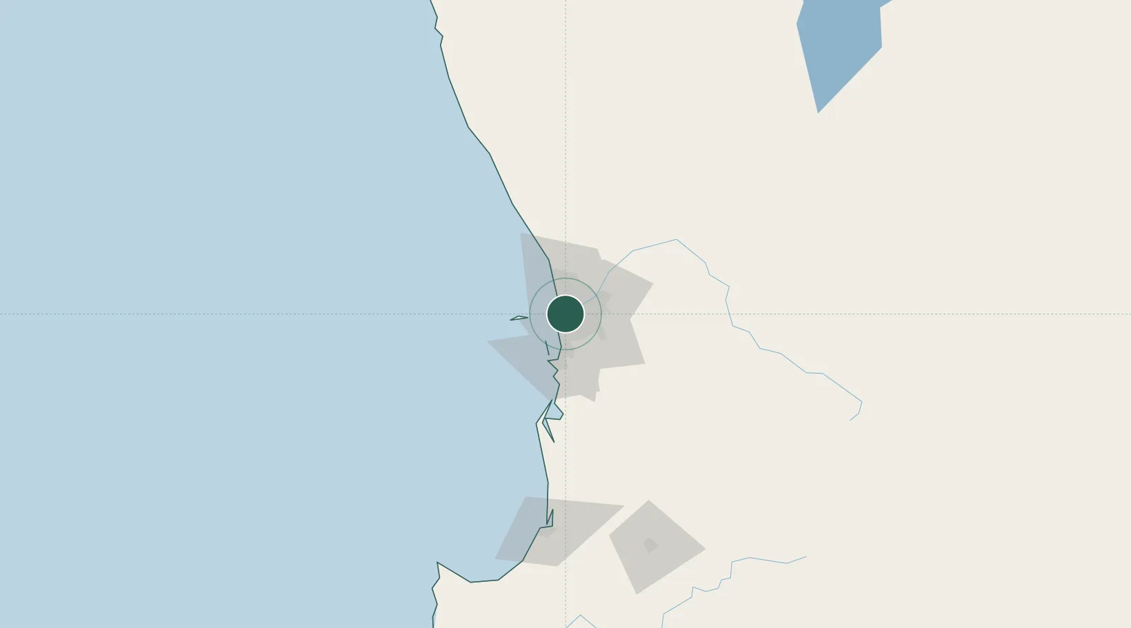
Populated place
Region
Western Australia
Population
8,033
Time zone
Australia/Perth
Elevation
20 m
Location
Nearby Logistics Neighbours
Cities
- 1Nedlands2 km
- 2Cottesloe2 km
- 3Swanbourne2 km
- 4Mosman Park4 km
- 5Attadale4 km
Airports
- 1Perth Jandakot Airport16 km
- 2Perth International Airport18 km
- 3RAAF Base Pearce41 km
- 4Busselton Margaret River Regional Airport193 km
- 5Karara Airport320 km
Trade Zones
- 1KEK Mandalika2568 km
- 2Oecusse Ambeno Enclave Special Zone For Social Market Economy (Zeesm)2667 km
- 3KEK Singhasari2700 km
- 4Pasuruan Industrial Estate Rembang2728 km
- 5Ngoro Industrial Park2735 km
DatabookThe Record of Consolidated Knowledge
Australia beyond logistics?