Transport Functions
Rail
Road
Multimodal
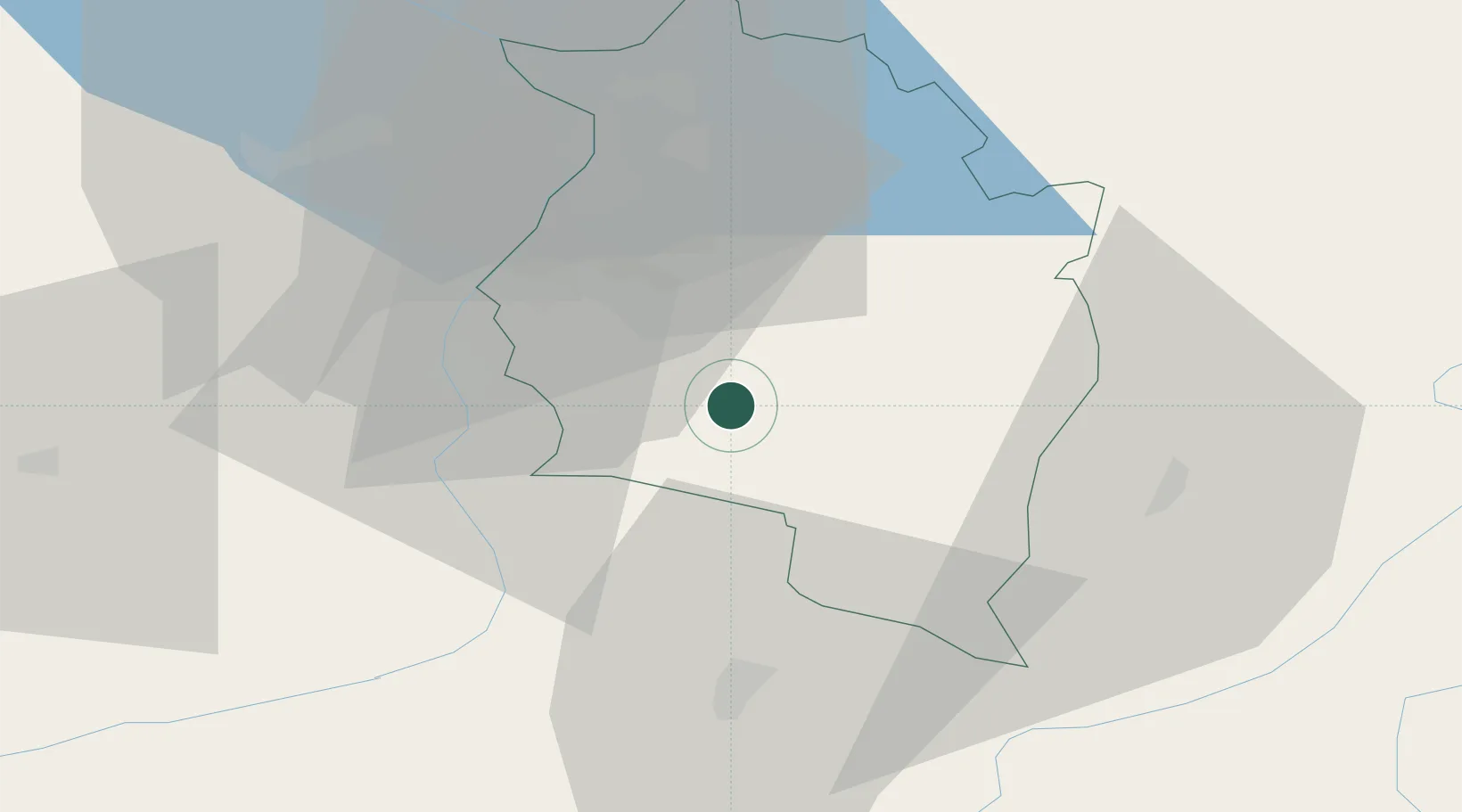
Hub Profile
Region
8
Location
Nearby Logistics Neighbours
Ports
- 1Porto Di Lido-Venezia278 km
- 2Porto Di Chioggia286 km
- 3Nogaro300 km
- 4Genova312 km
- 5Grado312 km
Airports
- 1Sankt Gallen Altenrhein Airport43 km
- 2Bodensee Airport Friedrichshafen64 km
- 3Engadin Airport67 km
- 4Dübendorf Air Base92 km
- 5Memmingen Allgau Airport101 km
Trade Zones
- 1Livigno Free Trade Zone71 km
- 2Magazzini Generali Con Chiasso157 km
- 3ZFU Mulhouse198 km
- 4ZFU Neuhof218 km
- 5ZFU Hautepierre226 km
DatabookThe Record of Consolidated Knowledge
Austria beyond logistics?