Transport Functions
Rail
Road
Postal
Hub Profile
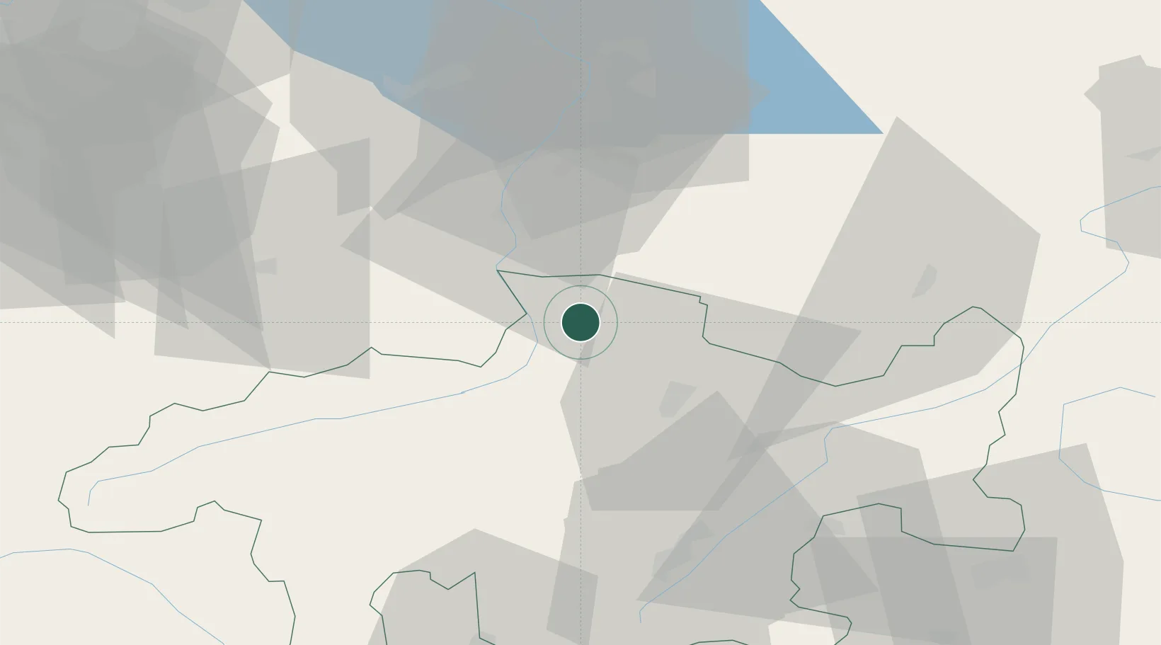
Region
GR
Location
Nearby Logistics Neighbours
Ports
- 1Porto Di Lido-Venezia276 km
- 2Porto Di Chioggia282 km
- 3Genova291 km
- 4Chiavari - Lavagna297 km
- 5Nogaro303 km
Airports
- 1Engadin Airport52 km
- 2Sankt Gallen Altenrhein Airport58 km
- 3Bodensee Airport Friedrichshafen79 km
- 4Dübendorf Air Base89 km
- 5Zürich Airport99 km
Trade Zones
- 1Livigno Free Trade Zone60 km
- 2Magazzini Generali Con Chiasso135 km
- 3ZFU Mulhouse194 km
- 4ZFU Montbéliard223 km
- 5ZFU Neuhof224 km
DatabookThe Record of Consolidated Knowledge
Switzerland beyond logistics?