Transport Functions
Rail
Road
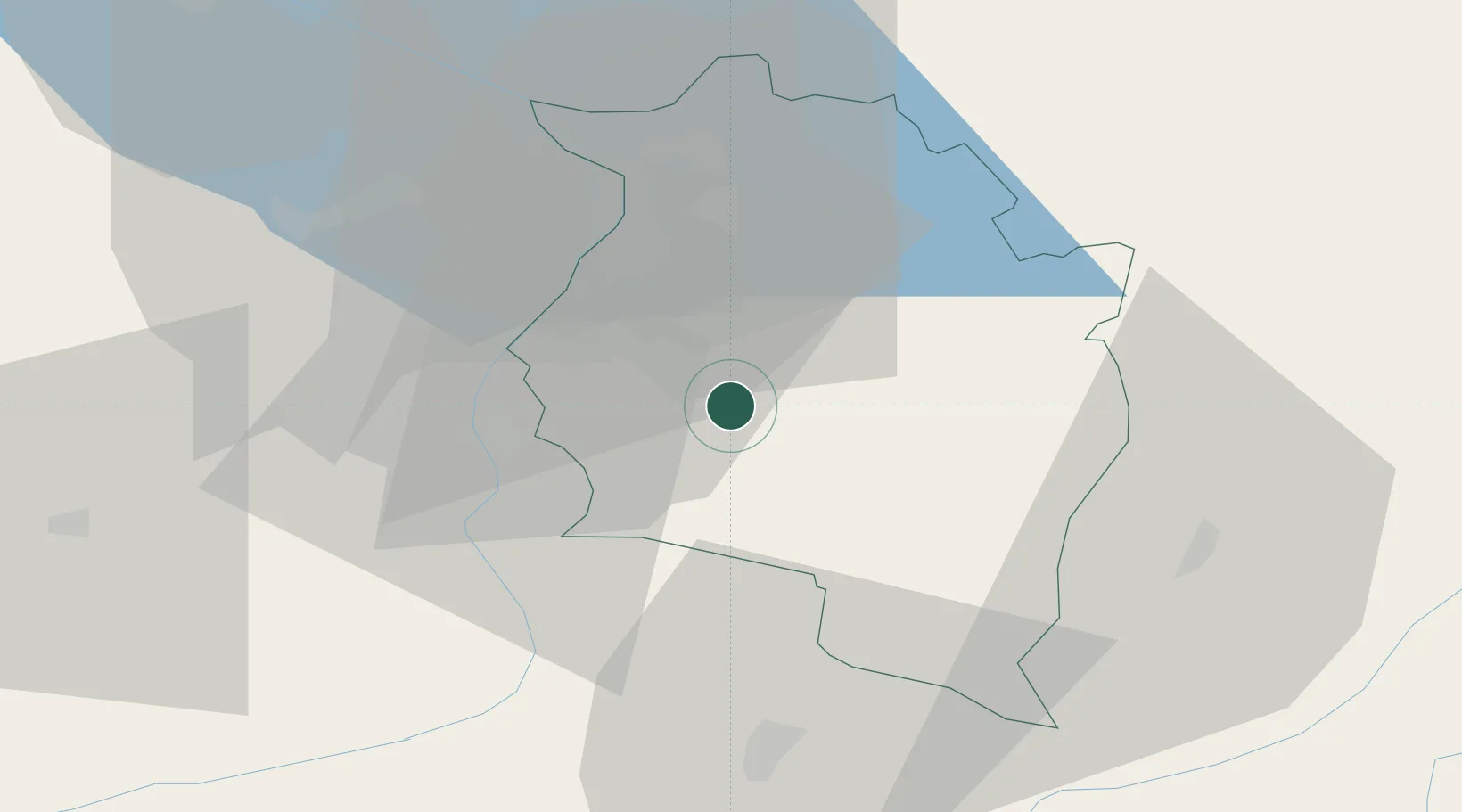
Hub Profile
Region
8
Location
Nearby Logistics Neighbours
Ports
- 1Porto Di Lido-Venezia285 km
- 2Porto Di Chioggia293 km
- 3Nogaro306 km
- 4Grado318 km
- 5Genova318 km
Airports
- 1Sankt Gallen Altenrhein Airport35 km
- 2Bodensee Airport Friedrichshafen56 km
- 3Engadin Airport75 km
- 4Dübendorf Air Base87 km
- 5Memmingen Allgau Airport95 km
Trade Zones
- 1Livigno Free Trade Zone78 km
- 2Magazzini Generali Con Chiasso163 km
- 3ZFU Mulhouse193 km
- 4ZFU Neuhof211 km
- 5ZFU Hautepierre219 km
DatabookThe Record of Consolidated Knowledge
Austria beyond logistics?