Transport Functions
Rail
Road
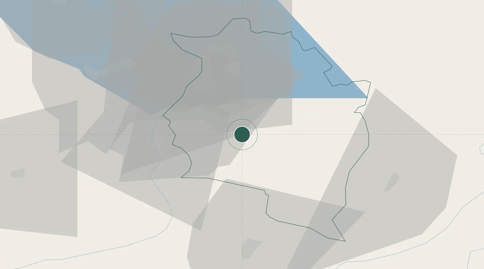
Hub Profile
Place type
District seat
Region
Vorarlberg
Population
3,371
Time zone
Europe/Vienna
Elevation
657 m
Location
Nearby Logistics Neighbours
Ports
- 1Porto Di Lido-Venezia284 km
- 2Porto Di Chioggia292 km
- 3Nogaro305 km
- 4Grado317 km
- 5Genova319 km
Airports
- 1Sankt Gallen Altenrhein Airport36 km
- 2Bodensee Airport Friedrichshafen56 km
- 3Engadin Airport74 km
- 4Dübendorf Air Base88 km
- 5Memmingen Allgau Airport94 km
Trade Zones
- 1Livigno Free Trade Zone78 km
- 2Magazzini Generali Con Chiasso164 km
- 3ZFU Mulhouse194 km
- 4ZFU Neuhof212 km
- 5ZFU Hautepierre220 km
DatabookThe Record of Consolidated Knowledge
Austria beyond logistics?