Transport Functions
Port
Rail
Road
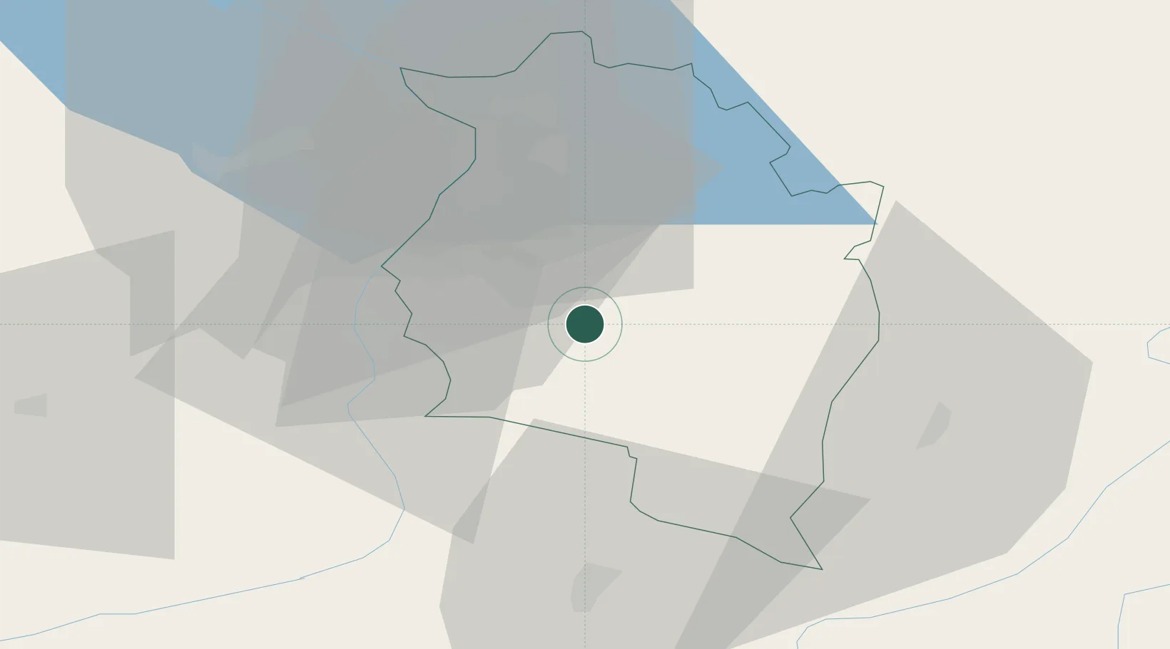
Location
Nearby Logistics Neighbours
Ports
- 1Porto Di Lido-Venezia282 km
- 2Porto Di Chioggia290 km
- 3Nogaro303 km
- 4Grado315 km
- 5Genova317 km
Airports
- 1Sankt Gallen Altenrhein Airport38 km
- 2Bodensee Airport Friedrichshafen58 km
- 3Engadin Airport73 km
- 4Dübendorf Air Base90 km
- 5Memmingen Allgau Airport95 km
Trade Zones
- 1Livigno Free Trade Zone76 km
- 2Magazzini Generali Con Chiasso162 km
- 3ZFU Mulhouse196 km
- 4ZFU Neuhof214 km
- 5ZFU Hautepierre222 km
DatabookThe Record of Consolidated Knowledge
Austria beyond logistics?