Transport Functions
Rail
Road
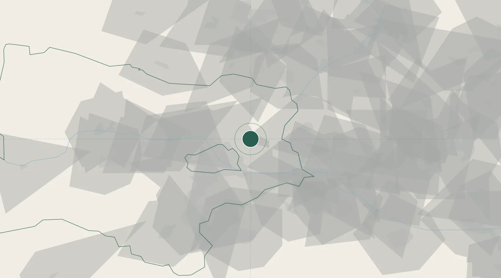
Hub Profile
Place type
District seat
Region
Lower Austria
Population
1,932
Time zone
Europe/Vienna
Elevation
181 m
Location
Nearby Logistics Neighbours
Cities
- 1Gross-Schweinbarth4 km
- 2Raggendorf4 km
- 3Strasshof an der Nordbahn6 km
- 4Prottes8 km
- 5Deutsch Wagram9 km
Ports
- 1Monfalcone370 km
- 2Trieste373 km
- 3Rijeka Luka377 km
- 4Bakar377 km
- 5Muggia377 km
Airports
Trade Zones
DatabookThe Record of Consolidated Knowledge
Austria beyond logistics?