Transport Functions
Multimodal
Hub Profile
Place type
District seat
Region
Styria
Population
611
Time zone
Europe/Vienna
Elevation
321 m
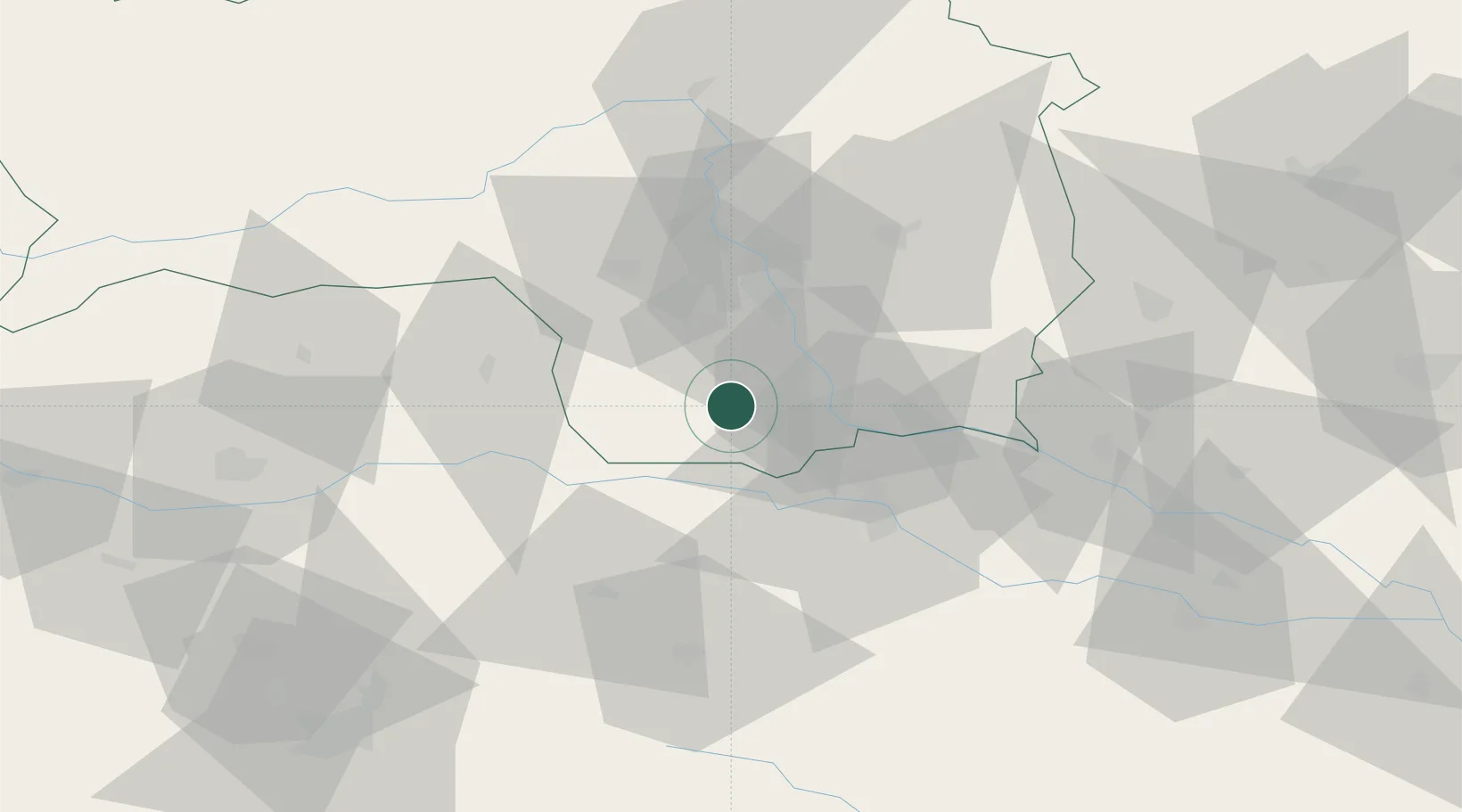
Location
Nearby Logistics Neighbours
Cities
- 1Gleinstätten2 km
- 2Gross Sankt Florian7 km
- 3Tillmitsch9 km
- 4Frauental an der Lassnitz11 km
- 5Schwanberg13 km
Ports
- 1Rijeka Luka175 km
- 2Bakar175 km
- 3Trieste176 km
- 4Monfalcone177 km
- 5Muggia179 km
Airports
- 1Graz Airport26 km
- 2Maribor Edvard Rusjan Airport40 km
- 3Hinterstoisser Air Base68 km
- 4Klagenfurt Airport80 km
- 5Ljubljana Jože Pučnik Airport92 km
Trade Zones
- 1Krapina-Zagorje Free Zone79 km
- 2Sjever Free Zone91 km
- 3PJ Free Zone Zagreb115 km
- 4Free Zone Kukuljanovo172 km
- 5Free Port of Trieste176 km
DatabookThe Record of Consolidated Knowledge
Austria beyond logistics?