Transport Functions
Port
Road
Hub Profile
Place type
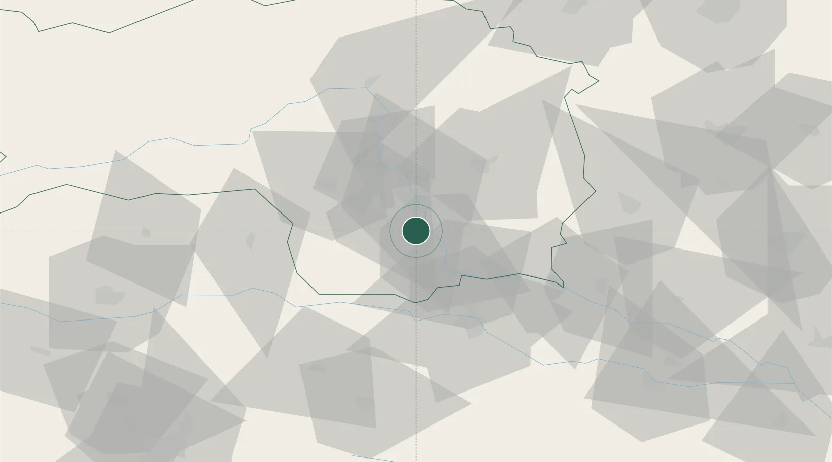
Populated place
Region
Styria
Population
991
Time zone
Europe/Vienna
Elevation
306 m
Location
Nearby Logistics Neighbours
Cities
- 1Wildon4 km
- 2Graz6 km
- 3Lebring6 km
- 4Unterpremstätten9 km
- 5Tillmitsch9 km
Ports
- 1Rijeka Luka190 km
- 2Bakar190 km
- 3Trieste190 km
- 4Monfalcone191 km
- 5Muggia194 km
Airports
- 1Graz Airport12 km
- 2Maribor Edvard Rusjan Airport48 km
- 3Hinterstoisser Air Base65 km
- 4Klagenfurt Airport90 km
- 5Ljubljana Jože Pučnik Airport107 km
Trade Zones
- 1Krapina-Zagorje Free Zone87 km
- 2Sjever Free Zone94 km
- 3PJ Free Zone Zagreb125 km
- 4Free Zone Kukuljanovo187 km
- 5Free Port of Trieste190 km
DatabookThe Record of Consolidated Knowledge
Austria beyond logistics?