Transport Functions
Multimodal
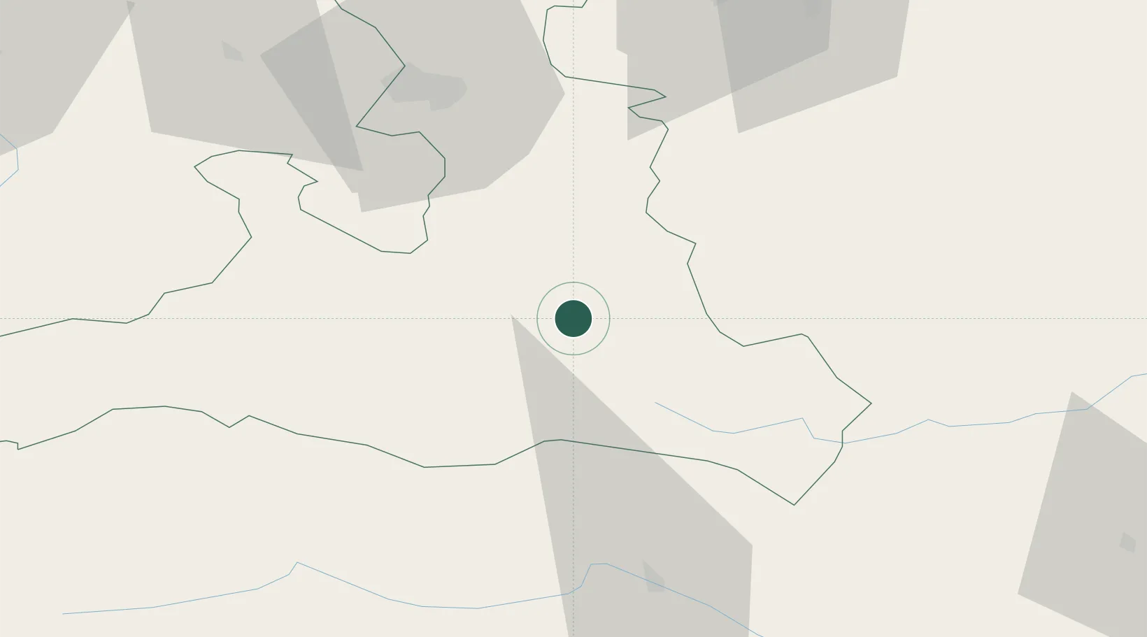
Hub Profile
Region
5
Location
Nearby Logistics Neighbours
Cities
- 1Radstadt10 km
- 2Bischofshofen13 km
- 3Schwarzach im Pongau14 km
- 4Forstau16 km
- 5Mandling19 km
Ports
- 1Monfalcone173 km
- 2Nogaro176 km
- 3Grado182 km
- 4Trieste190 km
- 5Muggia196 km
Airports
- 1Salzburg Airport57 km
- 2Hinterstoisser Air Base107 km
- 3Klagenfurt Airport108 km
- 4Linz-Hörsching Airport119 km
- 5Ljubljana Jože Pučnik Airport150 km
Trade Zones
- 1Freeport of Deggendorf171 km
- 2Free Port of Trieste190 km
- 3Free Port of Venice226 km
- 4Krapina-Zagorje Free Zone234 km
- 5Free Zone Kukuljanovo240 km
DatabookThe Record of Consolidated Knowledge
Austria beyond logistics?